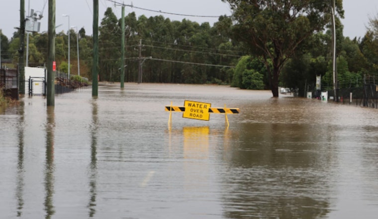
The National Weather Service has issued a Coastal Flood Advisory for southeast Louisiana and southern Mississippi, in effect until noon CST Tuesday. Minor coastal flooding of 1 to 2 feet above normal is expected, potentially affecting parking lots, parks, and roads. Some isolated road closures may occur, according to the National Weather Service.
A Flood Advisory is in effect for Orleans and St. Tammany parishes until 7:53 AM CST today. Heavy rain from ongoing thunderstorms is expected to continue. Residents are advised to avoid driving on flooded roads. Affected areas include New Orleans, Slidell, and nearby locations. Additional rain may worsen conditions, as reported by the National Weather Service.
Local authorities are monitoring the weather closely in response to current advisories. The forecast predicts a brief break in the weather with gradual clearing later today, though temperatures will remain around 81°F. Commuters should expect potential delays. The rest of the week will bring clearer skies and cooler evening temperatures, ranging from the low 40s to high 60s. A north wind will help dry out affected areas. Residents are advised to stay informed through the National Weather Service and follow any guidance from authorities.


