Bundling up and staying cautious is the mantra for Bay Area residents this week, as weather reports indicate dropping temperatures and a series of rain systems ready to drench Northern California. According to NWS San Francisco, a Frost Advisory was in effect until 9 AM today, December 11th, warning that temperatures would hover between 30 to 36 degrees. Tender plants and pets were at risk, prompting officials to urge residents to take preventative measures.
The weather shift doesn't end there. It comes late Wednesday through Thursday. The Bay Area is set to experience its first batch of rain, which will mostly target the North Bay. "The most significant rainfall is expected Friday and Saturday," the National Weather Service stated, hinting at potential minor urban and small stream flooding due to the wet conditions. And, if that wasn't enough, rain chances are sticking around into next week, so don't put those umbrellas away just yet.
In the wee hours of Wednesday, the forecast discussion expanded on the expected conditions, highlighting the possibility of coastal flooding due to combined king tides and high surf this weekend. People should dress in layers and wear hats, particularly children and the elderly, noted NWS San Francisco, underlining the four Ps of winter weather prep: protecting people, plants, pets, and pipes from the cold snap.
Visibility issues are also on the docket, with fog entering certain counties and causing reduced visibility in some East Bay interior stations. As the rain gears to saturate the region, "More significant rainfall expected Friday and Saturday," the Area Forecast Discussion revealed, emphasizing the increased chance of excessive rainfall and flash flooding in the North Bay valleys. There's also talk of snowflakes in the higher elevations, though no significant snowfall is projected.
The National Weather Service warns of southerly flow and an impending storm system that could lead to hazardous conditions with steep wind waves and fresh swell for the maritime crowd. Boaters should anticipate stronger winds over the weekend and rising northwest swells, emphasizing safety for all coastal activities.
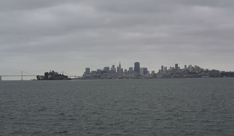
The climax of this meteorological drama will coincide with the peak December "King Tides," which spells potential for compounded tidal flood impacts along vulnerable coastal areas. The forecast warns of surf conditions that could enhance the risk along northwest-facing beaches, keeping beachgoers on their toes. "High tide heights and times at San Francisco during the King Tides," reads the National Weather Service advisory, marking the highest points of this seasonal event through Monday, December 16.


_(05).jpg)