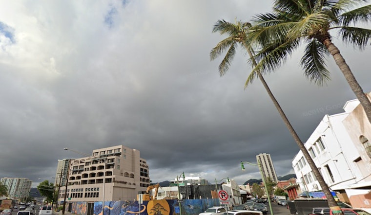
As we tread into the lingering days of the year, the Hawaiian archipelago braces for a mixed bag of weather conditions. According to the National Weather Service Honolulu, residents can expect shirtsleeve enhancements to rain patterns as a front dissipates over the western state. A dance of clouds and rain is to be expected as we bid adieu to the old and usher in the new year with the promise of returning trades.
The forecast, curiously passive amidst these elemental stirrings, anticipates "no significant changes" in the short term. Aligning with the National Blend of Models (NBM), the NWS notes a decrease in the probability of precipitation (PoPs) as the front fades into meteorological memory. While the trade winds pick up their pace, a ridge, complete with a metaphorical high-pressure backbone, settles north of Hawaii, ushering moderate to locally breezy trades across the island chain, ensuring a comparatively predictable weather pattern for the festive period.
Aviators taking to the skies above the Pacific paradise will find themselves threading through a quilt of weather, with patches of MVFR cigs (Marginal Visual Flight Rules ceilings) over Kauai and windward Oahu, and predominantly VFR (Visual Flight Rules) conditions elsewhere. The NWS warns of fast-moving showers riding the trade winds with potential for temporary mountain obscurations. AIRMET Sierra remains attentive to these conditions, signaling navigational caveats for aircraft in the designated areas.
To the sea-bound, there's a swell of activity—literally, as northwest swells offer a descending albeit still noticeable presence through midweek, having already prompted the cancellation of a High Surf Advisory for west facing shores of the Big Island. A subsequent northwest swell looms later in the week, expected to perhaps churn up advisory-level surf. Keeping sailors and mariners on their proverbial toes, A Small Craft Advisory clings to the waters as high pressure asserts its influence from the north, with advisories splashing across several channels and surrounding waters.
The latest weather forecast highlights an ongoing natural phenomenon: the hot spot over Halemaumau Crater on the Big Island remains visible to satellites using infrared technology. However, volcanic sulfur dioxide (SO2) emissions have become more localized, now confined to areas of the Big Island and the surrounding southwest waters, according to projections from the University of Hawaii's Vog Model.
As the atmospheric conditions evolve, they continue to shape a dynamic weather pattern across the skies and seas. Residents and visitors of the Hawaiian Islands are advised to stay alert to official forecasts as the region moves into the New Year, navigating the changing elements.


