Honolulu residents can expect an increase in trade wind showers this weekend, as a weakening front moves in tandem with an upper level trough, enhancing precipitation. In the wake of this frontal system, a ridge building north is anticipated to introduce moderate trade winds that will persist into the new year, according to the latest forecast from the National Weather Service (NWS) in Honolulu.
The current weather update has been informed by the National Blend of Models (NBM), displaying minimal discrepancy between global models. Despite the front's gradual weakening, it is projected to reach the islands later today, "bring trade winds to the region for the start of the new year," as cited from the NWS's morning discussion. While the groundwork for the forecast remains unchanged, observations indicate that Lihue and Hilo are experiencing higher precipitable water values than what satellite-derived data from CIMSS and GOES-18 initially suggested.
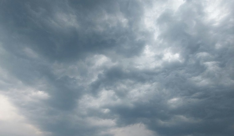
An "upper level trough will introduce a bit more instability which could help to enhance trade wind showers," according to the NWS. At this juncture, the possibility of thunderstorms near the islands is low, yet both European Centre for Medium-Range Weather Forecasts (ECMWF) and Global Forecast System (GFS) models have shown some increase in the likelihood of such weather phenomena. However, the incoming trade winds may disrupt any potential organized convection.
In terms of marine conditions, a Small Craft Advisory is now in effect due to combined hazardous wind and sea conditions. Mariners should anticipate seas exceeding 10 ft over northwest exposed waters and trade winds that could surpass 25 knots. The NWS advisory outlines that "fresh to strong northeast to east trade winds will build in behind the front." With regard to surf conditions, warning levels are set to persist along the west facing shores of the Big Island until later this evening, with advisory levels on the north and west shores of Kauai, Oahu, and north facing shores of Maui already in effect.
On the aviation front, varying winds present different conditions across the islands, with Kauai and Oahu facing potential for marginal visual flight rules (MVFR) conditions. The weather forecast anticipates a return to a more typical pattern of cloud and shower distribution with building trades focusing on windward and mauka areas. Fire weather reports indicate no critical conditions expected over the next week, as trade winds stabilize across the islands, bringing enhanced showers particularly to windward locales.
The NWS has issued a High Surf Advisory until 6 p.m. HST this evening for several areas, including Niihau, Kauai Leeward, and Oahu North Shore, while a High Surf Warning remains for Kona, Kohala, and Big Island South until the same time. Residents and visitors are advised to stay abreast of current advisories and warnings to ensure safety amidst changing weather patterns.


