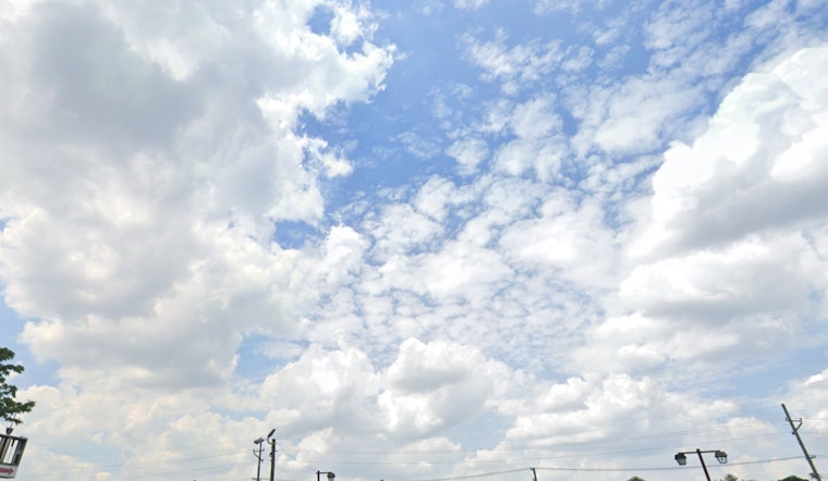
As reported by the National Weather Service in Indianapolis, the city is currently sitting under mostly cloudy skies with a temperature of 39 degrees Fahrenheit and a humidity level of 86 percent, the wind is blowing from the northwest at 8 mph making the wind chill factor feel like 33 degrees; this update came in early morning at around 7:54 a.m. EST.
The forecast for today indicates a continuation of mostly cloudy conditions with a mild high of 49 degrees, winds shifting to a light and variable direction, but tonight, rain is expected to start pouring after 1 a.m., and the chances of precipitation are standing at a staunch 90%—temperatures will hold steady around 46 degrees with east southeast winds blowing at 6 to 10 mph, occasionally gusting as high as 21 mph with new rainfall potentially reaching an accumulation of up to half an inch.
Further details provided by NWS Indianapolis forecast rain for tomorrow, with temperature peaking at 48 by mid-morning then taking a dip to around 41 throughout the day amidst south southeast winds transitioning to northwest in the afternoon and the possibility of gusts hitting 28 mph, the likelihood of rain remains pegged at 90%, and the amount of rain could mirror this night's measurements.
Weather conditions are set to shift again tomorrow night as rain may intermingle with snow past 10 p.m., then the mixture is expected to ease off, leaving the sky predominantly cloudy as temperatures bottom out around 30 degrees and west northwest winds carrying on at 10 to 15 mph gusting up to 26 mph, giving us a 40% chance of precipitation that makes the impending New Year's welcome less than clear-cut, yet upon New Year's Day itself, the clouds part to some degree offering partly sunny skies and a high nearing 34 degrees with steadfast west winds.
Indy residents should gear up for colder weather moving in on Wednesday, hinting at plummeting single digit wind chills come Friday night as per the weather service's statement, while the lead-up to the weekend continues to paint a partly cloudy narrative with lows in the mid-20s and highs in the mid-30s. However, the weather outlook takes a dramatic turn from Saturday night into Sunday as snow becomes increasingly probable—with a 60 percent chance of snow on Sunday.
The National Weather Service has also issued a hazardous weather outlook for central Indiana, citing concerns about locally dense fog, particularly north and west of the Indianapolis Metro area, and a potential winter storm that could sweep across the Midwest next Sunday and Monday.


