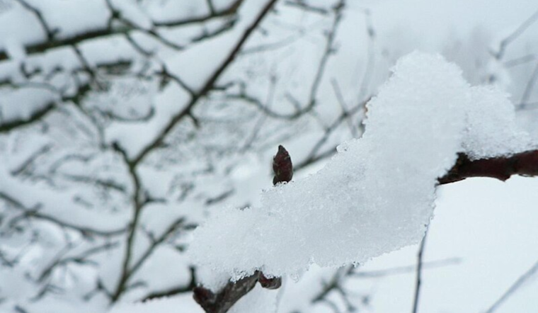
The National Weather Service Morristown TN released a Hazardous Weather Outlook early this morning, signaling a shift towards brisk westerly winds and colder temperatures across the region. The advisory includes light snow accumulation, which is expected to gently taper off later in the day, particularly in the higher elevations of the East Tennessee mountains.
Following the snow, it has been noted that wind chills are predicted to descend into the teens for those same mountainous areas by this afternoon. As the night unfolds, these wind chills will increasingly plummet into the single-digit territory. Residents in the mentioned areas should prepare for the biting cold by dressing in appropriate winter gear and limiting exposure to chilly outdoor winds.
Looking forward, the weather outlook from today until next Tuesday is leaning heavily towards the arrival of Arctic air by the beginning of next week. This influx of chilly air is expected to bring the ingredients necessary for wintry precipitation. The Southern Appalachian region could see a dusting to a blanket of snow, depending on the local elevation and proximity to the weather system's core.
With the frigid air mass on the horizon, the National Weather Service forewarns an extended period of well below-normal temperatures for the first half of January. Citizens across southwest North Carolina, east Tennessee, and southwest Virginia should thus remain vigilant and stay updated on the latest weather developments. This is particularly crucial for vulnerable populations who must seek to properly insulate their homes and ensure access to heating utilities to mitigate the risks associated with such extreme cold spells.
The forecast for Knoxville starts with New Year's Day, showing a gradual transition from cloudy to mostly sunny, boasting a high near 45 degrees. As the week progresses, conditions are slated to remain fairly sunny until we approach the weekend when the aforementioned cold snap and snow chances bubble up to the surface. By next Monday, the chance for showers ramps up to a dicey 50 percent, with mixed rain and snow showers possible for Monday night.


