The National Weather Service in San Francisco has issued a Beach Hazards Statement, in effect from the early hours of Monday to late on Tuesday, due to an increased risk of sneaker waves, strong rip currents, and towering breaking waves that could reach up to 20 feet. Beachgoers are advised to maintain a safe distance from the surf and always keep an eye on the ocean to prevent being caught off-guard by these potentially dangerous conditions.
Accompanying the Beach Hazards Statement, the National Weather Service has alerted to gusty offshore winds starting late Monday evening and peaking Tuesday morning. Gusts range from 25-35 mph, and up to 50 mph are possible in the highest terrain of the North Bay and East Bay interiors. Residents must secure loose objects and watch for falling debris or tree limbs. The strong winds result from a dynamic weather pattern sweeping through the area, which includes an "inside slider," as reported by the NWS in their Area Forecast Discussion.
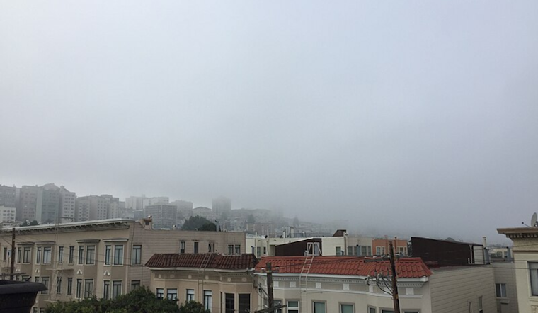
Additionally, patchy dense fog has necessitated a Dense Fog Advisory until 10 AM PST this morning across much of the North Bay. Visibility along US 101 between Healdsburg and San Rafael may be reduced to a quarter mile or less, affecting morning commutes. The fog is expected to clear later in the day, leading to VFR conditions and another pleasant day weather-wise for the region.
Boating conditions are also set to be tricky. The NWS forewarns that "Northwesterly swell will gradually build through the day today with gusty northwest winds resulting in hazardous conditions for small craft later this afternoon through early Wednesday morning." As a result, a Small Craft Advisory has been put in force, beginning this afternoon and extending into early Wednesday, covering a significant stretch of the California coastline.
The NWS also offers insights on the sneaker waves phenomenon, explaining that these waves can run up the beach much more than expected," acting like a tsunami surge. The combination of long period swell, light local winds, and the rising tide Monday could substantially increase the risk. However, the silver lining is the current neap tides due to the moon's quarter phase, which may somewhat diminish the tidal impact. While the prediction of sneaker waves remains uncertain, the National Weather Service remains firm: "Maintain a larger buffer from the water's edge, and never turn your back on the ocean!" Beachgoers should heed these warnings and stay vigilant while enjoying the coast.


