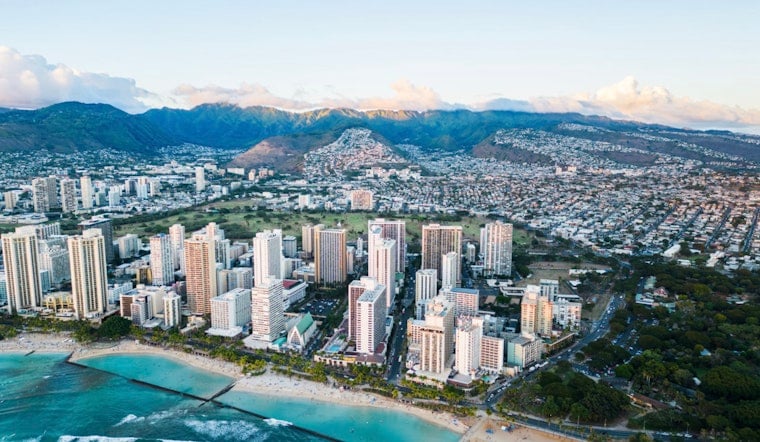
As Pacific winds and swells continue, Honolulu is preparing for a shift in weather patterns. The National Weather Service (NWS) in Honolulu reports that a front is moving toward Hawaii from the northwest, expected to stall west of Kauai. From today through Wednesday evening, this slow-moving front will bring increased showers and breezy conditions. While severe rainfall is not anticipated in the immediate forecast, tradewinds are expected to return by the end of the week.
Hawaii is currently experiencing varying weather conditions. Most of the state is experiencing dry weather, while the Big Island and nearby waters are being influenced by southeasterly winds. The shift in wind direction, now turning south-southwesterly, is associated with a nearby front that is expected to remain in the area through Tuesday. Overnight observations captured hints of a moistening atmosphere, with "precipitable waters have increased about a half of an inch since Saturday," according to the NWS's forecast. However,, absence of sufficient mid-level moisture is likely to stifle any heavy precipitation.
Honolulu's aviation conditions are expected to feature light to moderate southerly winds, offering a break from typical air travel conditions. Scattered showers may lead to brief reductions in ceiling and visibility, but no active AIRMETs indicate major concerns for flights. While mountain obscuration could result in an AIRMET Sierra later, pilots can currently expect relatively clear skies over south-facing slopes.
Marine activities, however, are expected to face disruptions. Surfers are urged to take heed as "warning level surf heights along exposed north and west facing shores" persist through Thursday, the NWS notes. A High Surf Warning has been issued, highlighting the strength and potential dangers of current conditions, with an extended advisory covering nearly all north- and west-facing shores. A Small Craft Advisory is also in effect, warning of high seas and advising caution for mariners in these conditions. As the front moves through Tuesday evening, winds will shift to northerlies, followed by the return of northeastern trade winds by Thursday.
Fire weather conditions are currently stable, with no imminent threat of critical fire weather. The NWS reports that the light southerly flow is maintaining higher humidity levels. The approaching front is expected to bring increased breezes and some rain, which could help reduce fire risk across the western islands.
Hawaiian weather remains variable, with residents and visitors experiencing changing conditions. The High Surf Warning is in effect until 6 a.m. HST Wednesday, advising caution for those in exposed waters. Despite the fluctuating weather patterns, the return of trade winds is expected to bring a return to more typical conditions.


