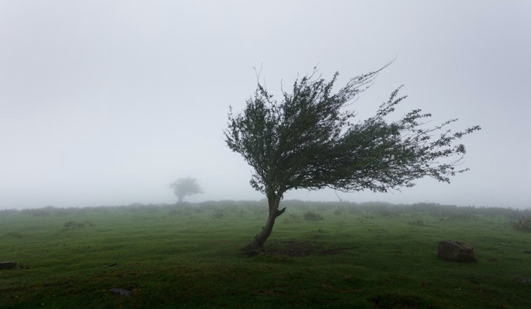
The National Weather Service in Sacramento has issued a wind advisory for much of the region that will remain in effect until Wednesday morning. According to the latest forecast, residents in the areas of the West Slope Northern Sierra Nevada, the Western Plumas/Lassen Park, and the Northeast Foothills, including the Delta, should prepare for strong north to east winds through early Wednesday. Gusting up to 65 mph over the Sierra and 35 mph in the Delta as of early Tuesday, these winds are strong enough to create hazardous driving conditions, especially for high profile vehicles, and to send unsecured items hurtling through the air.
Observations from the I-5 corridor in the Sacramento Valley have reported wind gusts ranging from 20 to 30 mph. Motorists should use extra caution as, driving in the mountains have been reported difficult, especially for those in high profile vehicles. Outdoor enthusiasts might want to reconsider their plans, with recommendations to secure or bring in any outdoor items that could become projectiles in such conditions.
According to the National Weather Service, the situation is caused by a trough moving southward over the Great Basin and a ridge forming over the Eastern Pacific. This pattern has resulted in a steep pressure gradient, and while winds are expected to decrease slightly by Wednesday, breezy conditions will persist through the weekend, along with warming temperatures.
For aviation, VFR conditions are anticipated throughout the next 24 hours for NorCal's interior. The NWS specifies "NW-NE sfc wind 15-25 kts with lcl gusts to 35 kts in Central Valley til 06z Wed." Meanwhile, in the foothills and mountains, gusts might reach up to 50 kts. Those in the air, as well as those on the ground, should prepare for these conditions to continue into the early parts of the week.
The extended forecast indicates a break from the windy conditions, with the upper-level ridge persisting over Northern California. Above-normal temperatures are expected, along with lighter winds. Highs in the central valley are projected to reach the upper 50s to low 60s, while the foothills and mountains will experience cooler temperatures in the 40s and 50s.


