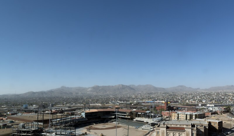
El Paso residents are bracing for a bout of extreme weather conditions as the National Weather Service (NWS) in El Paso, Texas, has issued critical warnings for both high winds and fire danger. According to the National Weather Service, the city and surrounding areas are forecasted to face west winds 35 to 45 mph with gusts up to 60 mph possible. This alert is set to take effect from Monday afternoon through the evening, complicating commutes and outdoor activities for many.
The impact of these gusts extends beyond just a windy day. The NWS warns that gusty winds will blow around unsecured objects, potentially leading to power outages as tree limbs could be blown down. Moreover, the winds are anticipated to drastically reduce visibility with blowing dust, making driving, particularly on north/south highways, a risky endeavor. To keep the public informed, the NWS advises, "Monitor the latest forecasts and warnings for updates," stressing the importance of being prepared for these conditions.
Compounding the region's weather woes, the announcement also includes a Red Flag Warning, highlighting a state of "extremely critical fire danger" for Southern New Mexico and far West Texas. The forecast notes that sustained wind speeds of 25 to 35 mph are expected, with peak gusts up to 60 mph mid-afternoon, for Monday. Furthermore, the relative humidity levels are poised to plummet to a desiccating 5 to 15 percent, prime conditions for wildfires to ignite and spread uncontrollably, particularly in areas with high ERCs, such as the Gila and Lincoln National Forests.
The Fire Weather Warning explicitly mentions that "any fires that develop will likely spread rapidly," and strongly advises against outdoor burning. As these severe conditions persist, the potential for wildfires remains high into Tuesday, and again with another wind surge projected for Thursday and Friday. The NWS cautions those in affected regions, including the Lincoln National Forest and other vulnerable areas, to be especially vigilant amidst the increased fire risk.


