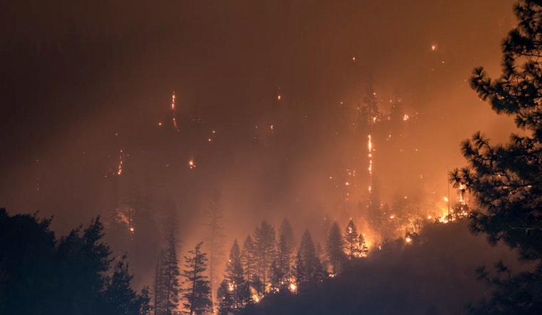
Residents across western North Carolina and northeast Georgia have been alerted to an "increased fire danger" in effect from this afternoon until this evening. Environmental factors, including low relative humidity expected to drop as low as 15 to 25 percent and wind gusts reaching 15 to 20 mph, have created potentially dangerous wildfire conditions, according to a Special Weather Statement issued by the National Weather Service (NWS) today.
Local authorities have been prompted to exercise caution regarding outdoor burning, with residents encouraged to take note of their directives. "Please refer to your local burn permitting authorities whether you may burn outdoors. If you do burn outside, use extreme caution," warned the NWS in their statement. For those living or traveling through the regions named by the NWS, including major areas like Avery, Buncombe, Catawba, and Mecklenburg counties, this alert signifies a heightened need to avoid activities that could spark unexpected blazes.
Alongside this fire danger warning, the NWS's summary of the upcoming weather outlook for the area conveys a mixture of sunny to cloudy days, with a spike in storm activity poised for the weekend. According to the NWS' Hazardous Weather Outlook, "A powerful storm system will impact the region late Saturday into Sunday with thunderstorms, some of which could be severe, expected. Locally heavy rain is also expected which may result in isolated minor/nuisance flooding."
The shift in conditions suggests an oscillation between calm and tumult—with today's fair weather slated to rise to a high near 79 degrees to Sunday's high near 76 degrees amidst likely showers and thunderstorms. While the chance of showers rolls in at 30 percent on Saturday, it surges to 90 percent for Sunday. This weather dance offers a respite early in the week, as sunny skies with highs in the mid-60s to 70s await Charlotte residents following the tempest.
As the region braces for these contrasting weather patterns, the information serves a potent reminder of our environment's capricious nature. With outdoor plans hanging in the balance of weather forecasts and wildfire risks, the current conditions call upon community members to remain vigilant and informed. To keep abreast of these evolving circumstances, keep an eye to the sky and an ear tuned to continued updates from reliable sources such as the NWS.


