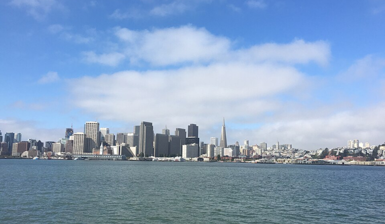
While the weather forecast promises sunny skies and warmer temperatures, beachgoers are advised to stay vigilant due to the potential for sneaker waves and longshore currents. The National Weather Service warned, "Please respect the power of the ocean from a safe distance," and emphasized the importance of never turning your back on the water. Along with the beach hazards, a minor HeatRisk also looms for both coastal and interior areas, so as you swap out that winter wardrobe for lighter gear, remember to prepare for the warmth.
For those hoping to quickly cool down by taking a dip, think twice. The NWS is closely monitoring the oceanic conditions and has put a Beach Hazard Statement into effect through Monday night, reminding the public of the inherent risks associated with long-period northwest swells leading to dangerous rip currents and sneaker waves. According to the latest Area Forecast Discussion released by NWS San Francisco, a weak cold front is expected to bring light rain chances and a slight pause in the warming trend early this week, with temperatures to resume climbing by Tuesday.
Looking towards the skies, the aviation industry will also have to adapt to the changing conditions. Low clouds are set to intensify tonight and into Monday morning, with a chance of light rain potentially creating navigational challenges for regional flights. Westerly winds are forecasted to persist near 10 knots, according to the latest updates from the National Weather Service.
Mariners should also brace for a shift in weather patterns as the same weak cold front trudges through coastal waters today and tonight. A moderate to rough swell from the west-northwest is expected to make sea conditions challenging, peaking today before subsiding through the coming week. A Small Craft Advisory has been issued to reflect these developing marine conditions, pointing to a need for extra caution in navigating the coastal and offshore waters during this period.


