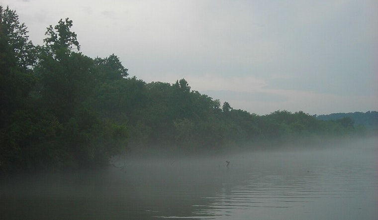
Knoxville is currently shrouded in a misty veil as humidity levels peak at 100%, setting the scene for a day rife with potential weather hazards. The National Weather Service (NWS) in Knoxville has issued detailed forecasts pointing to a day dominated by showers and thunderstorms, with conditions ripe for flash flooding, particularly given the expected heavy rainfall in short bursts. For early risers, visibility has been notably reduced to a mere half-mile amidst the enveloping fog.
According to the recent update from the NWS, the fog is expected to disperse by 9am, giving way to a high near 76 degrees, with calm winds turning southwest later in the day. "Showers and thunderstorms likely before 3pm, then showers and possibly a thunderstorm between 3pm and 4pm, then a chance of showers and thunderstorms after 4pm. High near 76. Southwest wind around 5 mph," the forecast delineates. Residents should remain vigilant as new rainfall amounts between a tenth and a quarter of an inch are projected, escalating potentially in the throes of thunderstorms. As the night approaches, Knoxvillians can anticipate the revival of patchy fog after 4am, alongside a 40% chance of more showers and thunderstorms.
The weather saga continues into Wednesday, with the NWS predicting a sunny day at first, only to be disrupted by a 70% chance of showers and thunderstorms resurfacing in the afternoon. These wet antagonists threaten to persist into the evening, creating an environment where precaution is necessary, especially with visibility challenges presented by the recurrent patches of fog forewarned to precede 8am.
Looking further ahead, the hazardous weather outlook from the NWS's Morristown office underscores a particularly active weather pattern gearing up for Friday and Saturday. "An active pattern is likely Friday and Saturday with multiple rounds of storms possible. Some storms could be strong to severe at times, but confidence is limited on exact timing," according to NWS Morristown. Knoxville's weekend warriors should thus brace for a tumultuous end to their week, with a keen eye on the sky and a wary mind towards the potential severity of these brewing tempests.
In the midst of these imminent perturbations, the National Weather Service has made it clear that spotter activation is not needed at this time, offering a small respite and perhaps a faint glimmer of hope that, despite the encircling storm's cauldron, a measure of resiliency is to be found in the community's preparedness and the vigilant broadcast of weather updates keeping the public informed and alert.


