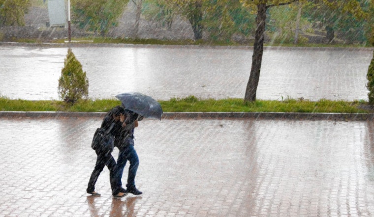
The National Weather Service in Morristown has issued a Hazardous Weather Outlook for parts of southwest North Carolina, east Tennessee, and southwest Virginia, alerting to a spate of strong to severe weather conditions expected in the region. According to their announcement, the timeframe to watch begins Thursday afternoon, with the potential for strong to severe storms slated for roughly 4 PM to 10 PM. The key risks associated with these storms are notably hail that could reach golf ball size and damaging wind gusts. While the tornado threat remains very low, residents in the affected areas are advised to stay vigilant.
For those in the Knoxville area, the forecast is a bit of a toss-up, with overcast skies and a calm wind in the early morning hours giving way to a 30 percent chance of precipitation later in the day. Temperatures are expected to hover around the high 70s. As per the forecast by NWS Knoxville, patchy fog may also be present before 9 AM, posing additional visibility concerns for morning commuters. Moving into the evening hours, the likelihood of showers and thunderstorms increases to 50 percent, primarily before 3 AM, along with the chance for patchy fog reemerging after the storms pass.
Looking ahead to the weekend, the weather doesn't seem to settle, with a continuing pattern of partly sunny skies occasionally marred by showers and possible thunderstorms. Throughout this period, the chance of precipitation ebbs and flows, with days oscillating between a 10 percent to a high of 80 percent chance of showers and thunderstorms, particularly by next Tuesday. And as the-weary Knoxville residents brace for potential downpours, temperatures are forecasted to remain relatively stable, with highs in the mid-70s.
Despite the looming storms, the Hazardous Weather Outlook clarifies that the "probability of widespread hazardous weather is low" beyond today and tonight. This should offer some respite for those concerned about an extended period of disruptive weather. Still, residents are encouraged to report any severe weather, including hail and damaging winds, to aid in monitoring and response efforts. The reports can considerably assist NWS in fine-tuning their alerts and ensuring community safety.


