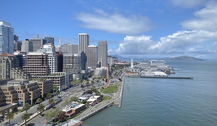
According to the latest report released early Monday morning, the region can expect temperatures to hover near the normal range for this time of year, with some days slightly above average. The NWS San Francisco indicates sunny skies inland and a combination of sun and marine layer stratus along the coast, particularly near the San Mateo coastline.
Today's conditions should stay close to seasonal averages, with gusty winds anticipated from late this morning until the evening across the Bay Area and higher elevations inland. "Despite the increased onshore flow the drier air aloft will help keep widespread low marine stratus from developing again tonight," the NWS report explained. The short-term forecast suggests a weak trough axis will influence the region, resulting in moderate onshore flows and those characteristic breezy winds with which we're all familiar.
A separate detailed forecast from the National Weather Service showcases a high near 64 degrees Fahrenheit today with strong west winds reaching upwards of 25 mph. These breezy conditions are expected to continue overnight with lows dipping around 53 degrees and wind gusts maintaining their intensity. Looking ahead, Tuesday and Wednesday will warm slightly with highs in the upper 60s to low 70s, still accompanied by persistent west winds.
Mariners should pay particular attention to the cautionary statements issued by NWS, as robust northwesterly winds, near gale-force gusts, and choppy seas are predicted to persist through Thursday. "Gale force gusts are expected near the coastal jet regions of Point Reyes and Point Sur," the National Weather Service warned. Meanwhile, as we approach the weekend, the forecast aligns with a return to normal or slightly below normal temperatures, offering some respite from the week's earlier gusts.


