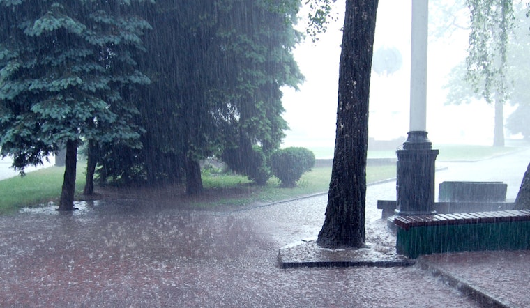
Residents in Detroit and the surrounding areas should be prepared to venture cautiously through varying climatic conditions over the next week. As reported by the National Weather Service, scattered showers and the potential rumble of thunderstorms are poised to darken the Juneteenth holiday skyline. The day brings a 60% chance of precipitation, with new rainfall amounts hovering between a tenth and a quarter of an inch, yet thunderstorms may bring higher amounts.
Post 5pm, the likelihood of tumultuous weather slightly abates, but a 30% chance of evening showers and thunderstorms remains until clear skies are expected to reclaim the night. Into the small hours, temperatures will dip to around 61 degrees closely pursued by a westbound wind at a soft 7 mph pace.
Tomorrow brings a brighter outlook with mostly sunny skies and temperatures rising to a warm 85 degrees. Breezy conditions will persist, but without the pressing threat of rain, creating an idyllic end to the workweek. This favorable weather, marked by clear night skies and a balmy low of 69, segues into an even warmer weekend ahead.
The mercury is set to rise significantly come Saturday, with the National Weather Service predicting a high near 92 under a mostly sunny canopy. Nightfall ushers in only modest relief as temperatures are reluctant to fully retreat, steadying around a warm 75 degrees. The days to follow promise to escalate further as we strive to possibly sizzle at a peak of 97 on both Sunday and Monday, with minimal cloud cover to offer reprieve from the sweltering heat.
However, as Tuesday approaches, residents should be prepared to navigate again through unpredictable weather patterns, with a chance of showers and thunderstorms and highs peaking around 95. This unpredictability is forecasted to persist through Wednesday, which offers a break from the searing heat, expecting a high near 89, punctuated intermittently by potential showers and thunderstorms.


