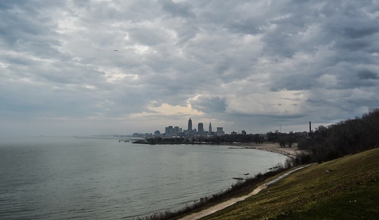
As the ebb and flow of summer fronts shift across Ohio, meteorologists at the National Weather Service in Cleveland have outlined a weather pattern that’s primed to stir up a mix of thunderstorms and high humidity. Early today, a warm front rolled through, signaling a rise in dew points to the low 70s, and a forecast of mid-80s temperatures that feel even hotter due to the high humidity.
Light rain in the southwest has marked the arrival of this front, although the National Weather Service notes that so far, none of these showers have had a meaningful impact on local weather stations. "A more potent band of showers and some embedded thunder has entered Southwest Ohio and will lift north through the morning hours," the agency noted, laying out expectations for the first wave of rain. Thunderstorms later today could bring "strong to locally severe convective cores" which raise the potential for damaging winds, so keep an eye out and plan accordingly.
By tonight, the cold front is set to move in, tempering the storm threat as it pushes eastward. High pressure will follow swiftly for a brief spell of calmer weather come Tuesday. Folks in most areas should see the end of rain by early Tuesday afternoon. As the week unfolds, the weather should level out with near-normal early July temperatures, that is, until potential scattered showers and storms reappear on Thursday.
The NWS Cleveland continues, "For Sunday, some form of an upper trough will dip into the Great Lakes region and support a cold front across the area." Anticipate an uptick in shower and storm chances but since we're dealing with a full week forecast, the specifics remain hazy. Looking ahead, Independence Day holiday-goers might luck out with high pressure and dry conditions forecasted for Friday. But by the weekend, with a warm front breaching the region, temperatures could inch close to the 90-degree mark, possibly agitating more showers and storms.
For mariners venturing onto Lake Erie, expect southwest winds around 5-10 knots today ahead of the front's arrival. These conditions will carry on until the onset of northwesterly winds, with waves potentially cresting at 1-3 feet on the central and eastern shores. "No marine headlines are anticipated through the next week," but changes in conditions should be monitored closely for those taking to the water.


.jpg)