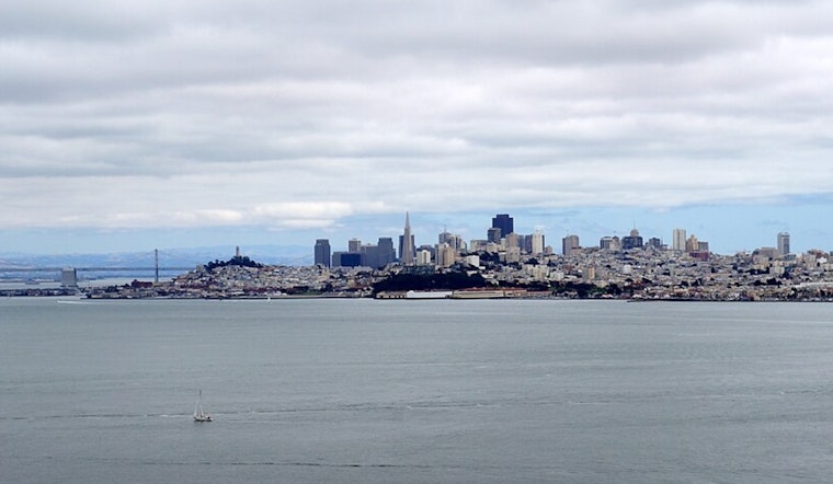
The San Francisco Bay Area's weather continues its June Gloom pattern, with cloudy coastal mornings and sunny afternoons inland. According to a synopsis by the National Weather Service in San Francisco, this stable weather pattern is expected to persist throughout the week. The NWS report, issued early Sunday morning, indicates a slight cooling trend across the interior regions starting Sunday, with temperatures remaining consistent along the coast.
For those residing inland, temperatures are anticipated to hit the upper 80s to lower 90s tomorrow, as confirmed by a social media update from the NWS Bay Area. Despite the warm temperatures, coastal highs will stick to the more temperate 60s. The marine layer, which has thickened in recent nights, is causing increased coastal drizzle and fog, reaching inland valleys more than in past days, like the Salinas Valley and the North Bay regions, according to the NWS.
Warm inland temperatures continue tomorrow with highs in the upper 80s to the lower 90s, with a gradual cooling trend through the next week. Coastal highs remain stable in the 60s. Expect cloudy skies each night and morning before inland clearing in the afternoon. #CAwx pic.twitter.com/vvJT8N6UaZ
— NWS Bay Area 🌉 (@NWSBayArea) June 29, 2025
While the marine influence will likely keep morning cloud cover denser and more stubborn to clear, it should erode around noon inland, making room for sunnier skies. This could mean that areas previously clear in the morning may experience a cooler day from the shortened sun exposure. On the marine front, breezy northwesterly winds have been forecasted to continue over the open waters, with an advisory in effect until 9 AM PDT this morning for Pt Arena to Pt Reyes, according to the National Weather Service.
Looking ahead into the week, the pattern is set to include cloudy mornings followed by breezy, sunny afternoons for inland areas, and consistently cloudy coasts. "The low and trough combo lasts into the mid week and gets replaced by another troughing pattern," the National Weather Service statement detailed, hinting at a continuation of the thick marine layer and the extending inland nightly low cloud pushes. The forecast notes a "non-zero chance for thunderstorms in the North Bay (2-5%) Monday and again Tuesday," although the chances remain relatively lower for the Bay Area. The chances of fog and drizzle are expected to diminish slightly in the latter half of the work week.


.jpg)