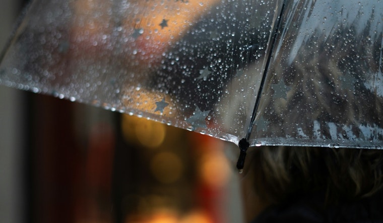
Residents in central Indiana should pack their umbrellas and keep an eye on the skies as the National Weather Service in Indianapolis has forecasted a week sprinkled with thunderstorms and showers. According to the latest update, today's weather includes "Scattered rain before 2pm, then scattered showers and thunderstorms, mainly after 3pm," with a moderate high of 83 degrees.
As nighttime rolls in, the odds of precipitation climb to 40 percent, mainly after 11 pm. The light south wind will maintain the temperature at a low around 69 degrees. A similar pattern of unsettled weather is predicted for Tuesday and Wednesday, with a 40 percent chance of rain during the day, which increases to 60 percent chance of showers and thunderstorms Wednesday evening.
Heading into Juneteenth, the outlook seems slightly brighter. Morning rain and thunderstorms are expected, but the sky will generally clear up, allowing for a mostly sunny day with highs approximating 83 degrees. The mixed conditions are set to give way from Thursday onwards as the NWS anticipates clearer skies, culminating in a sunny and hot weekend, with temperatures scaling into the low 90s.
The National Weather Service has also issued a hazardous weather outlook, cautioning residents of central Indiana about the risks associated with the on-and-off thunderstorms. The report warned that "lightning, heavy rainfall, and localized flooding will be the primary threats" with a "slight risk of severe thunderstorms" particularly for late Wednesday into Wednesday night.
For those who rely on weather spotters, the Service indicates that spotter activation may not be necessary until possibly late Wednesday.


