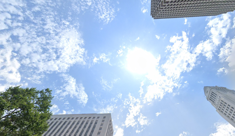
Chicagoans are bracing for another scorcher today as the city marks its 17th consecutive day of above-average temperatures. According to FOX32 Chicago, the heat wave shows no signs of breaking, with today's highs expected to soar to around 90 degrees under mainly sunny skies. While there's a slim chance for a stray shower or thunderstorm later in the day, most neighborhoods will likely remain dry.
Looking ahead, the warm pattern continues with Thursday's temperatures predicted to reach into the low 90s. The National Weather Service forecasts a sunny day with a slight uptick in the likelihood of afternoon showers and thunderstorms. The forecast indicates a consistent southwest wind around 5 mph, becoming east in the afternoon, with possible gusts up to 15 mph.
The Fourth of July is shaping up to be a real burner, with mid-90s for the high under mostly sunny skies. The humidity is expected to stay in check, keeping the peak heat index near 100 degrees. However, meteorologists are keeping an eye on a potential cluster of storms that could roll through the area on the morning of the holiday.
As the weekend progresses, the heat doesn't let up. Saturday's forecast suggests temperatures could match or exceed Friday's highs. But on Sunday, the chance for showers and thunderstorms ramps up, threatening to disrupt outdoor activities, including the NASCAR races traditionally held in Chicago. According to FOX32 Chicago, while it won't be raining throughout the entire day, highs on Sunday will hover around 90 degrees, perpetuating the season's trend of warm weather.


