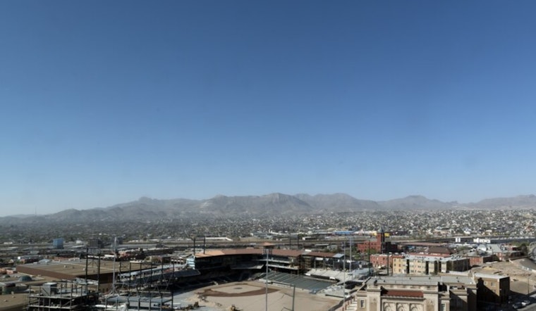
El Paso residents are looking forward to a week of sunny skies with temperatures flirting with the triple digits, as reported by the National Weather Service (NWS) in El Paso. The forecast, which includes a few clouds hovering over the area, predicts today's temperatures climbing to a high near 98 degrees, coupled with calm winds that will shift westerly in the afternoon, according to the National Weather Service.
As the sun sets, the NWS anticipates a mostly clear night with lows settling around 74 degrees. The gentle westerly breezes are expected to surrender to stillness by evening, adding a layer of tranquility over the region. Those planning their weekend activities should prepare for more sun-soaked days, with Saturday's thermometer inching up to 99 degrees and calm winds taking a southeast turn during the afternoon, the service notes, amidst the continued reign of the summer sun the heat will persist with Sunday's and Monday's forecasts remaining steadfast in the upper nineties while teasing a 20 percent chance of showers and thunderstorms before the calendar flips to Tuesday.
Heading into the workweek, NWS suggests that although the odds for precipitation increase slightly, the warm trend continues with a 40 percent chance of rain on Monday night, while daytime highs make a slight retreat nearing a slightly more moderate 93 degrees on Tuesday, each forecasted storm bringing its lottery of probability but not enough to promise a break from the dry embrace of the Chihuahuan Desert.
The remainder of the week maintains a similar pattern, offering mostly sunny days with a slight interlude of potential monsoonal moisture; evenings are set to match the daytime's clarity, sparingly sprinkled with chances for thunderstorms that might offer a respite from the daytime heat while highs linger persistently in the mid-90s, thus El Pasoans might find themselves balancing between the simplicity of clear skies and the capricious hope for rain watering their desert home.


