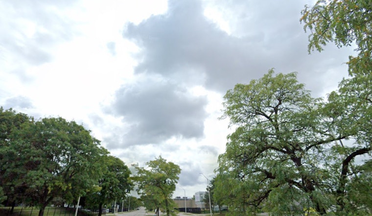
Easterly trade winds will continue across Honolulu through the end of the week. Windward and mauka areas will see most of the showers, while leeward areas are expected to remain mostly dry. Later in the week, winds are forecast to weaken, which may lead to an increase in interior and leeward showers, especially over the western islands, according to the National Weather Service.
Moderate to locally breezy trade winds will continue into tomorrow. "Low cigs and SHRA should favor windward and mauka areas," which may lead to MVFR conditions in showers, while VFR conditions are expected elsewhere. A Small Craft Advisory is in effect for several areas until Thursday evening due to strong easterly winds. Surf will remain small and choppy on east and north-facing shores, with a slight swell expected on south and west-facing shores by next Tuesday. Minor coastal flooding is possible in Maui County and the Big Island due to higher-than-expected water levels and afternoon high tides. A Coastal Flood Statement is in effect through Thursday, as reported by the National Weather Service.
Dry conditions are raising fire weather concerns in the leeward areas due to near-critical relative humidity levels. At Honolulu International Airport, the Keetch-Byram Drought Index has reached 604, indicating increased fire risk. The National Weather Service noted that the index has passed 600, "and will remain above this threshold until significant rain occurs." No major rainfall is expected in the coming weeks or months as the dry season continues.


