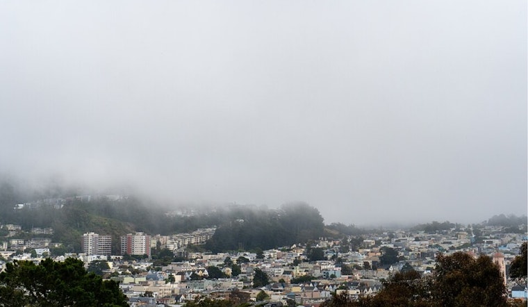
The National Weather Service San Francisco (NWS San Francisco) has updated the region's weather forecast, halting previous speculations of thunderstorms over the North Bay. The storm chances have diminished significantly due to increased atmospheric stability and convergence within the jet stream level. Meanwhile, the marine layer continues to grip the coastal areas, with the NWS adding patchy drizzle and fog to this morning's conditions and predicting similar weather patterns tonight, as per the National Weather Service.
As for the short term, inland areas are set to enjoy a glimpse of the sun after the retreat of morning low clouds, although slightly below normal temperatures are forecasted for Thursday and Friday. Despite the marine layer maintaining a depth of 1200-1500 feet, it's expected to roll back again by mid-morning. Whereas the marine layer comes with its ambiance, temperatures will stay on the cooler side.
Looking ahead to the long-term outlook extending through the upcoming weekend, the cooling trend persists as a new upper-level trough moves into place. This will result in "slightly cooler temperatures and much windier conditions," particularly on Thursday, as stated in the NWS San Francisco. Though conditions are not severe enough to warrant a wind advisory, coastal and higher elevation areas may experience gusts between 25-40 mph.
In marine news, boaters should be prepared for sustained northwest winds and rough seas, which are forecasted through Thursday. A small craft advisory is in effect for select areas in the bay and along the coast. NWS San Francisco warns that "a strong NW breeze and rough seas will continue through Thursday before improving late week," with a southerly swell anticipated to make its presence felt from Thursday through Friday.
For aviation, the stratus and fog are causing IFR to LIFR conditions along the coast and are expected to revisit tonight and into Thursday morning. The vicinity of SFO will witness stratus prevailing until midday today before lifting, followed by its return early Thursday. Western to northwestern winds will sweep at a steady pace of 5 to 15 knots.


