As northern Ohio and nearby regions gear up for a weather rollercoaster, the National Weather Service in Cleveland provides insight into what's up ahead. NWS Forecast details indicate a cold front making its way south across the area today, expected to stall in the Ohio Valley tonight and Tuesday. The same stagnant front is likely to wiggle back up midweek and then seesaw through the weekend, with a stronger system projected to shuffle it away by next Monday.
Led by an advancing cold front, the near term is all about rain and thunderstorms, particularly inland across northeastern Ohio and northwestern Pennsylvania in the 15-19Z window. However, simmering uncertainty keeps forecasters on their toes regarding the exact locations for the wet weather. Early morning showers clinging to Lake Erie's shores are struggling, but with a mid/upper shortwave trough chugging eastward, the front is anticipated to push southeast through the area later, inciting showers and thunderstorms where low-level convergence meets building instability. Despite weak mid-level flow, the area braces for slow-moving convection that may cause local flooding as "precipitation rates will be efficient," according to discussions from the National Weather Service.
Residents of NE Ohio and NW Pennsylvania, especially inland, are likely to get the brunt of this weather pattern, facing "likely and categorical" chances of precipitation. While an increased risk of severe weather isn't expected due to unimpressive mid-level and low-level shear, localized downburst winds could catch pockets of the region off-guard.
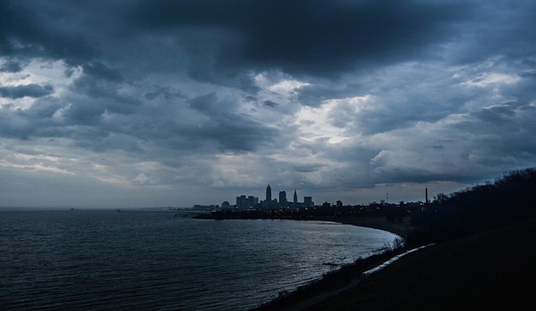
On the Lake Erie marine forecast, a shift in winds – southwesterly turning northerly – is sending waves to anticipated heights of approximately 2 to 3 feet this afternoon into tonight. Boaters prepare for some choppiness, but the following days should provide more tranquil conditions; light onshore afternoon winds are expected Tuesday as high-pressure sidles in. The rest of the week portends mainly favorable sailing conditions, tempered by possible scattered afternoon thunderstorms from Wednesday to Saturday.
In the coming days, the weather script seems like a replay with storms and showers potentially unsettling plans, though not without generous breaks of sunnier skies. The forecast met with discerning eyes, gives a hint – a moist and erratic weather story with a seasonal warmth lingering in the air punctuated by showers and thunderstorms. The orchestration of the elements, slow and steady at times, might just crescendo into a more organized system by next Monday, setting the stage for the week ahead.


.jpg)