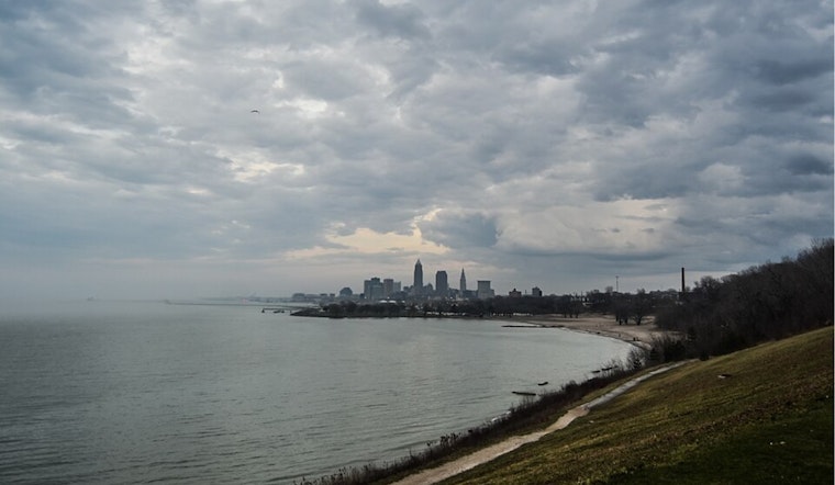
The National Weather Service in Cleveland has issued an update for the weather across the Great Lakes, particularly noting the conditions expected in Ohio. The forecast discussion, released early Tuesday, details a transient period of calm thanks to a high-pressure system, followed by potential convective weather returning midweek.
A stationary cold front hanging over the Ohio Valley today will give way as it ascends north as a warm front on Wednesday due to a low-pressure trough moving through the region. The respite from the rain will be brief, as "scattered showers and thunderstorms" are predicted to restart before sunrise in northwest and north-central Ohio, according to the NWS Cleveland. Dew points will be dipping into the low to mid-60s early this morning but are expected to climb back up around 70 by Wednesday.
The pleasant weather Ohioans will experience today, with low 80s temperatures and tolerable humidity, may be short-lived. The NWS Cleveland's discussion indicates that "the bulk of the convection will occur Wednesday afternoon and evening" as instability and shear increase. Despite not currently being outlined for severe weather, NWS suggests a few "severe storms with damaging winds to 60 mph" could erupt, especially taking into account "fairly dry mid-levels to boost DCAPE."
Moving into Thursday and Friday, the front is set to drift back south but not much past the US 30 corridor, resulting in continued warm and humid conditions. While high-pressure attempts to reassert itself, the boundary's vicinity means "chances for convection continuing, especially in southern areas," the NWS reports. As the weekend approaches, predictions become less certain, but there's potential for the frontal boundary to linger, affecting the region through Saturday.
Aviation-wise, a mix of MVFR and IFR conditions has been impacting flights, but improvements are foreseen after 12Z Tuesday, with ceilings anticipated to scatter out for the afternoon. Boating conditions on the Great Lakes should remain stable this week with waves trending minimal.


.jpg)