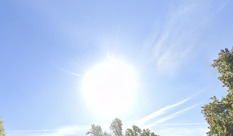
As the summer heat continues to climb, Indianapolis locals can expect more sunny skies and the occasional thunderstorm. The National Weather Service in Indianapolis has reported that today's weather includes isolated showers and thunderstorms after 2 p.m., with a notable calm wind and a high reaching a warm 86 degrees. While the chance of precipitation remains low at 20%, the forecast suggests that the humidity, currently at a throttling 90%.
Evening plans can expect mildly temperate conditions, with partly cloudy skies and lows around 68°F. Thursday and Friday are forecast to be mostly sunny, with highs approaching 90°F. Summer-like conditions are expected to continue in the city, with no significant change in the forecast.
The warm weather trend is expected to continue into the weekend, according to the latest forecast. Indianapolis residents can expect a sunny and hot Saturday, with highs reaching around 91°F. Similar conditions are forecast for Sunday. Evenings will remain mostly clear, with lows in the low 70s.
Early next week brings a slight change, with the NWS forecasting a 20 percent chance of showers and thunderstorms on both Monday and Tuesday. Despite the potential for rain, sunny conditions are expected to persist, with highs near 90°F. The National Weather Service Hazardous Weather Outlook notes that "Locally heavy rain and cloud to ground lightning will remain the primary threats." Residents are advised to monitor conditions and plan outdoor activities accordingly.
The NWS also reminds that because "lightning is a hazard in any thunderstorm," residents should practice caution during adverse weather conditions. No spotter activation advisories are currently in effect.


