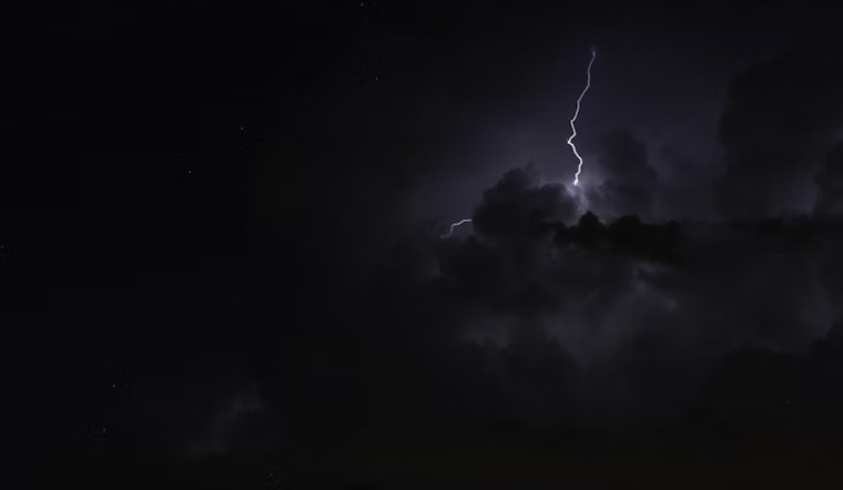
Residents of Salt Lake City should be prepared for a wet and thundery week ahead, according to the latest forecasts from NWS Salt Lake City. Starting today, the city has a 60% chance of scattered showers and thunderstorms before noon, which is expected to evolve into more consistent showers, and possibly a thunderstorm, between noon and 3 p.m. The chance of rain isn't letting up, with a 50% likelihood of continued scattered showers and storms tonight, according to the National Weather Service.
Temperatures, which peaked around 90 degrees today, will drop to 67 degrees tonight with a light north-northwest wind that is expected to calm by evening. This pattern of thunderstorms doesn't seem to be a fleeting guest; Monday promises an 80% chance of showers and possibly a thunderstorm, with similar conditions expected to linger throughout the week.
For Tuesday and Wednesday, Salt Lake City residents are facing a 90% and 80% chance of showers and thunderstorms, respectively, with highs dipping to the low 80s by Wednesday. With nearly a week of predicted rainfall, umbrellas and raincoats might be the most fashionable accessories for anyone venturing outdoors.
Even as the workweek draws to a close, the unsettled weather seems reluctant to clear. Thursday will be partly sunny with a strong likelihood of showers and thunderstorms in the afternoon, and these conditions are set to repeat on Friday. Residents should expect this pattern to persist with only slight temperature changes, the lows hovering around the low 60s and daytime highs hitting mid-80s by Saturday.


