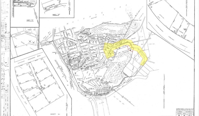
Residents of Māʻili Kai on Oʻahu's Waiʻanae coast are being advised of upcoming field studies by the Department of Hawaiian Home Lands (DHHL). According to an announcement from DHHL, the efforts kicking off today are part of a process to precisely chart property boundaries on Lualualei Homestead Road. The scheduled fieldwork will introduce a series of boundary and topographic surveys, including drone-based LiDAR scanning.
Local homesteaders are likely to witness field crews canvassing the area, marked on the map shared by DHHL. Work is set to occur during weekdays, with regular operations between 7:30 a.m. and 4:30 p.m., spanning over a tentative two-week period. DHHL is calling for community members to facilitate these efforts by ensuring that the team has safe, unobstructed access to the relevant public roadways. "The DHHL requests that homestead residents accommodate the work in the area and allow safe and unobstructed access to the public roadways so that the work may be conducted as safely as possible."
The project will necessitate minor traffic control measures to be put in place during fieldwork hours. To minimize disruptions, field workers will be easily identifiable with proper identification. The department has also provided points of contact for residents, listing Hawaiʻi Engineering Group and DHHL project management for any queries or concerns. Aleczander Akana of the Hawaiʻi Engineering Group can be reached at 808-383-0010, and DHHL Project Manager Kahana Albinio is available at 808-730-0343.


