

























































Honolulu is starting this Sunday, July 26, 2026, on the mild side, with temperatures near 77°F and east-northeast trade winds gusting into the 20s. Skies are mostly cloudy with scattered windward showers, while inland highs are expected to climb toward the mid-80s. The persistent breeze is chopping up shoreline waters and helping to sling quick, brief showers across mauka slopes.
High Surf Advisory Through This Evening
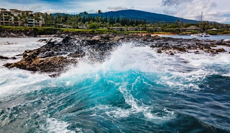
South-facing shores are under a High Surf Advisory through 6 p.m. HST this evening, Sunday, July 26, 2026, with breaking waves around 7 to 10 feet and strong rip currents, according to NWS Honolulu. Lifeguards are urging people to stay off jetties, avoid unguarded beaches, and keep a close eye on children. Even strong swimmers can get surprised by sneaker waves in these conditions.
Port Conditions and Boaters
The U.S. Coast Guard has set Port Condition Whiskey for all commercial ports statewide, effective 8 p.m. HST Friday, July 24. That status means pleasure craft should head for sheltered waters, and larger vessels may be asked to depart or submit a mooring plan. Mariners are advised to secure loose gear, delay nonessential trips in exposed channels, and monitor broadcast notices along with updates from local harbormasters. See the U.S. Coast Guard release for full details.
Trade Winds, Showers and What’s Next
Moderate to breezy east-northeast trades, sustained in the mid-teens to low-20s mph, are expected to hold through Monday. Those winds will keep spotty windward showers in the mix and bring periodic gusts along ridgelines and shorelines. Hurricane Fausto is forecast to pass north of the islands and weaken to tropical storm strength as it approaches Tuesday into Wednesday. That track is expected to send a longer-period swell into east and south shores and could push surf back into advisory or even warning levels early next week. Forecasters at NWS Honolulu are urging residents to monitor updates and review storm supplies.
What To Do
If you are heading to the beach, follow lifeguard instructions, steer clear of unguarded stretches of coastline, and keep children well back from the waterline. Boaters should tighten up lines, secure loose gear, delay nonessential trips in exposed channels, and keep an ear on official updates. For more context on this weekend’s setup, check out this weekend wind alert.



