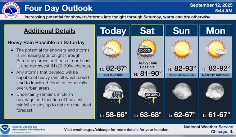
As the Windy City transitions into the latter half of September, the Chicago weather forecast promises a blend of sunny days interspersed with potential showers and thunderstorms, particularly affecting this upcoming Saturday's plans. According to the National Weather Service, Chicago residents can expect "mostly sunny" skies today with highs cresting near 80 degrees and east winds blowing softly at 5 to 10 mph. However, those out late might encounter "patchy fog before 11am" and a drop in temperature to around 66 degrees tonight with a continuation of the east southeast wind.
Heading into the weekend brings a notable shift, with a "40 percent chance of showers and thunderstorms" on Saturday, possibly impacting outdoor activities. Despite the potential for wet weather, temperatures should remain warm, "with a high near 80" and south winds at about 10 mph that may gust as high as 15 mph, FOX 32 Chicago reports. The evening outlook for Saturday mellows to a "slight chance of showers and thunderstorms" as the mercury dips to a comfortable 68 degrees.
The forecast for Sunday, on the other hand, offers a return to clear skies and a high of 79 degrees, before transitioning to "mostly clear" conditions at night with a low around 67. The sunny trend is expected to continue into Monday, with temperatures climbing to the low 80s and "partly cloudy" skies at night.
Looking forward to the next workweek, Chicagoans can anticipate an uninterrupted stretch of warm weather, with the National Weather Service predicting sunny days and highs residing in the low 80s, while nightfall brings "partly cloudy" conditions with lows lingering around 67 degrees. Such consistency in weather might come as a relief to those weary of the region's meteorological unpredictability. FOX 32 Chicago also suggests that the "warmest temperatures" will be found in the city proper and its immediate suburbs, with the forecast extending through to Wednesday showing "partly cloudy skies and highs in the upper 80s."


