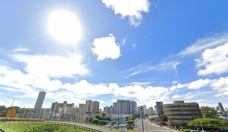
As the islanders of Honolulu settle into their routines, the National Weather Service has forecasted a shift towards dry and stable conditions through the week. According to the NWS, a "drier more stable air mass" is expected to hover over the Hawaiian Islands, reducing rainfall but not completely sparing the region from light, overnight showers, specifically across windward and mauka areas. Those living leeward can look forward to less precipitation, although sea breezes could stir up afternoon clouds and the occasional shower, "especially on the Big Island."
Caught in the crosshairs of the radar, scattered showers are currently peppering the state as of the latest NWS report. While a weak surface ridge holds steady to the north of Kauai, bolstering light to moderate trade winds, an upper-level low is set to begin its northward retreat. In its wake, a mid-level ridge is flexing to stabilize weather conditions across Hawaii. This should ensure the trade wind flow, somewhat dry by nature, will persevere through the impending weekend. Leeward areas will mostly stay dry, but keep an eye out for a possible afternoon drizzle if you find yourself on the Kona slopes.
Aviation conditions are fairing similarly with "light to moderate trades through the rest of the week." Pilots may anticipate low visibility and rain showers in mountainous and windward locales, but VFR (Visual Flight Rules) is the likely standard—even where rainfall temporarily reduces visibility, as per the NWS.
For those drawn to the sea, the data indicate a continued presence of elevated surf along north-facing shores, thanks to a blend of swells, as reported by the NWS. Though the south swell dissipates, surfers and beachgoers may ride on the residual medium- to long-period waves. East-facing shores will follow a quieter rhythm, with below-average surf expected to last until next week. Coastal flooding advisories signal a cautious note, pointing out that afternoon peak tides could spill over into low-lying areas, a tune echoed from Wednesday through the week’s end.
Inland, fire weather concerns take a backseat as the conditions mellow out. The returning dryness and persistent moderate trade winds are keeping the islands out of "critical fire weather thresholds," as noted by the NWS. A watchful eye on the horizon is warranted, though, with Hurricane Kiko's projection moving due west. Its potential impact on Hawaiian weather patterns remains uncertain as it approaches the Central Pacific basin and looms closer to the islands. No current advisories, watches, or warnings are issued, providing a collective sigh of relief—at least, for the moment.


