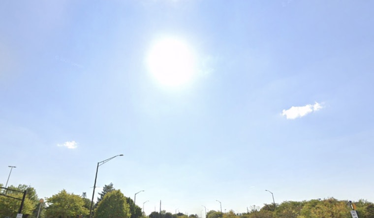
The National Weather Service in Indianapolis provided a no-nonsense update on weather conditions today, sticking to basic facts and straightforward forecasts. Temperatures hit a comfortable 60°F early in the morning, with conditions described as "A Few Clouds" and humidity standing at 72%. The wind is behaving itself, coming in from the northeast at a gentle 6 mph. Expect the barometer to hover around 30.10 in (1018.7 mb) and visibility to reach up to 10 miles, according to the NWS's latest report.
Today’s forecast calls for sunny skies with highs in the mid-80s and light southeast winds in the afternoon. Tonight, temperatures will dip to around 59°F with a gentle southeast breeze.
Wednesday will be mostly sunny with highs similar to today and a light south-southwest breeze. By Wednesday night, rain chances rise sharply to 90%, with possible thunderstorms bringing up to half an inch of rain in some spots.
Rain is expected early Thursday, mainly before 8 a.m., with a cooler high near 70°F and west-northwest winds at 6 to 8 mph. Rainfall could total up to a quarter inch. By Thursday night, skies will clear with lows around 53°F.
The rest of the week looks calm, with mostly sunny skies and highs in the mid-70s on Friday. There’s a small 30% chance of evening showers. Saturday and Sunday will stay sunny with highs near 70°F and lows around 50°F. Monday will bring more sunshine, keeping the pleasant weather going.


