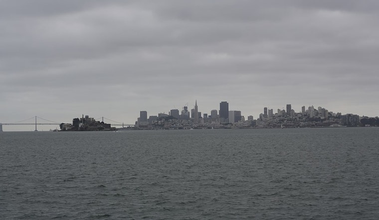
San Francisco Bay Area residents should prepare for a damp start to the week as the National Weather Service forecast predicts the return of rain and potential thunderstorms beginning Monday, with the wet weather continuing through Wednesday. According to updates from the NWS San Francisco, this shift arrives on the heels of a particularly deep marine layer, which reached heights of 3,000-3,500 feet, and brought drizzle to coastal and upslope areas early Sunday. Bay Area residents woke to cool temperatures below seasonal averages due to the persistent marine layer and onshore flow.
The marine layer also raised concerns about wildfire smoke from the Moon Complex fire in Oregon, which infiltrated the Bay Area and could be responsible for moderate air quality readings. However, the NWS Bay Area expects air quality to improve as southerly winds help to lift smoke out of the region. Meanwhile, webcams confirmed a drizzle in the Santa Cruz Mountains, and the humidity at Mt Hamilton summit hit 85%.
24 hour temperature and relative humidity trends. Mt Hamilton summit temperature currently at low temp of the day with 59F and RH 85%. Webcams in the Santa Cruz Mtns showed a little drizzle/sprinkles during the day. #CAwx pic.twitter.com/o70Lrl0saA
— NWS Bay Area 🌉 (@NWSBayArea) September 28, 2025
As the first storm system approaches, San Franciscans should anticipate another push of the marine layer ahead of Monday's forecasted rainfall. "System one will bring rain back the region early Monday morning," the NWS San Francisco states, with the initial downpour expected over the North Bay and slowly spreading south and east throughout the day. Though the chance for thunderstorms has decreased, northern waters may still experience some convective activity. The following system is set to bring its own set of rain showers by Wednesday, but without the threat of thunder.
Both systems harbor moisture, including remnants from Typhoon Neoguri, which could result in moderate to locally heavy rainfall, particularly affecting the North Bay. The influence of the southwesterly flow will likely induce rain shadowing in some inland valleys, like Santa Clara, while amplifying precipitation in areas conducive to upslope conditions, such as Mount Tam and the Santa Cruz Mountains. While the North Bay can expect 0.25-1 inch of rain, totals for the Central Coast remain uncertain, potentially ranging from a few hundredths to nothing, per NWS projections.
According to the NWS marine forecast, marine conditions will be moderately rough with the anticipation of rain showers and thunderstorms affecting the coastal waters Monday into early Tuesday. Mariners should stay wary of southerly winds and sea states building to 10 to 12 feet mid to late week. As the systems pass, calm should return by Thursday afternoon with ridging building in from the west, signalling an end to the wet weather front for now.


_(05).jpg)