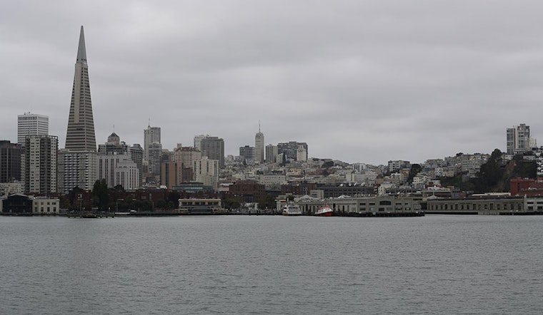
San Francisco is braced for a grey, wet week ahead as the National Weather Service forecasts a string of rain showers across the region through Wednesday. The weather agency reports a cold front is set to arrive today with overcast skies and the potential for thunderstorms. The North Bay is looking at receiving about a quarter of an inch of rain, while the Peninsula may see slightly less, coming in around a tenth of an inch, and the Central Coast might catch a few scattered droplets. The National Weather Service in San Francisco stated in their latest update that this is the beginning of our autumnal rainfall.
According to the same source, the skies will provide a brief respite on Tuesday with some ridge building following the first front, perhaps giving way to fleeting glimpses of sunlight. Yet, the relief is short-lived, as a second, stronger cold front is predicted to make its way on Wednesday. The North Bay may be saturated with around half an inch of additional rainfall, with the rest of the Bay Area expected to see a variation from a few hundredths to a quarter-inch.
Travelers and commuters should be prepared for possible delays. Aviation reports suggest temporary visibility and ceiling height reductions may occur during showers, particularly affecting coastal airports and those in the North Bay. The fluctuations between the marine layer and visibility will likely wreak havoc on outdoor plans and commutes, especially with southerly winds persisting and gaining strength later in the week.
On the marine front, boaters should exercise caution due to variable and potentially hazardous conditions, with rain showers expected to persist early Tuesday, as an upper-level trough and surface cold front pass through the coastal waters. A mix of gentle to moderate southerly winds is forecast to dominate, while isolated thunderstorms may stir up some northern outer waters from late morning into the early evening. Late in the week, as reported by the National Weather Service, seas are projected to heighten, with waves building to 10 to 12 feet and winds expected to gain strength again, potentially impacting late week into the weekend activities.
Although this wet weather may dampen some spirits, it signals the beginning of the 2026 water year, a crucial period for California's water resources. Residents can see the expected rainfall totals by visiting the NWS Forecast Office San Francisco, CA's website. With two systems bearing down on the region this week and the likely intensification of the second system by midweek, staying informed will be key to navigating the showers and the showers between them.


.jpg)