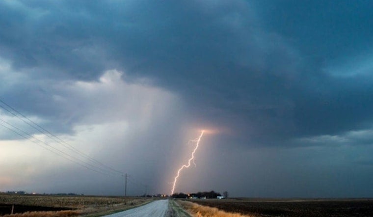
The National Weather Service Twin Cities/Chanhassen, MN issued a Hazardous Weather Outlook early this morning, alerting residents of the Twin Cities and surrounding areas to the potential for severe weather today and into the evening. The forecast warns of scattered thunderstorms mainly in the afternoon and evening over much of the coverage area. The primary concern is over southern Minnesota, including the Twin Cities metro, where storms may bring large hail.
Residents were also advised to be on the lookout for possible severe storms on Monday. As reported by the National Weather Service, the skies will exhibit mostly cloudy conditions today with a high near 76 degrees and a calm wind becoming southwest around 5mph in the afternoon.
The outlook, extending from today through Saturday, suggests Minneapolis could see more than just a few raindrops. While the focus currently remains on the risk of hail and damaging winds today and Monday, the rest of the week appears to have a mix of patchy fog and sunshine. Temperatures will hover in the mid-70s, with several nights anticipated to be mostly clear with lows around the upper 50s to 60 degrees.
Tonight, as the fog rolls in after 1 a.m., the chance for showers and thunderstorms decreases, yet another anticipated calm to follow the storm's potential uproar. The weather forecast anticipates a low around 60 degrees with southwest winds around 5 mph becoming calm later on. Meanwhile, the NWS provided instructions for residents, stating "SKYWARN spotter activation may be needed this afternoon into tonight," which could involve local citizenry who report severe weather conditions first-hand.


