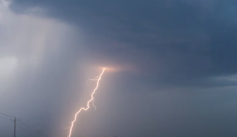
The National Weather Service in Honolulu has updated its weather forecast for the region, anticipating a shift in weather patterns that could affect various parts of the island chain. According to the NWS update, a cluster of showery clouds currently south of Oahu is projected to move northward over the course of the day, which may result in a thunderstorm or two. These could impact the waters south of Kauai and Oahu, while a weakening low-pressure system north of the state is expected to yield light wind flow across the area throughout most of the weekend.
With this evolving meteorological scenario, the NWS forecasts a land and sea breezes pattern to prevail, especially over the western parts of the state. However, toward the end of the weekend, the possibility of an uptick in winds originating from the eastern end of the state could grow as the system weakens. This change is not set to occur until late this weekend, when a rebuilding of light trades is anticipated. Moreover, in their recent forecast update, the NWS noted an added chance for thunderstorms, particularly over the coastal waters, a revision that re-aligns with the latest National Blend of Models.
Aviation conditions are expected to be affected by the changing winds and possible shower activity. While most of the Hawaiian Islands' airports will maintain visual flight rules (VFR) conditions, the potential for marginal VFR and isolated instrument flight rules (IFR) in showers has been flagged. As of now, no AIRMETs are in effect, though this could change depending on the development and movement of showers in the region.
For those at sea, the current troughing pattern will continue to suppress trade winds through early next week. The setup welcomes a moderate to large long-period northwest swell, which is poised to make its presence felt starting Sunday afternoon. While surf along south-facing shores remains unremarkable through the weekend, swells from the north, in combination with a surge from Tropical Cyclone Priscilla to the east, have the potential to shape surf conditions. On a related note, a Coastal Flood Statement has been issued due to peak high tides that could cause minor flooding along low-lying coastal areas today. Nonetheless, conditions should return to normal after this morning's high tide cycle.
In terms of fire weather, the NWS indicates that the weak winds and scattered showers expected will continue to lower the risk of fire over the next few days. The inversion layer across Hawaii is predicted to range significantly, from around 5,000 to 9,000 feet in altitude. Currently, there are no watches, warnings, or advisories in place, suggesting a prompt response from local services in mitigating and managing any potential adverse conditions.


