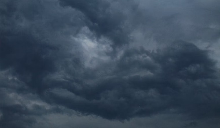
Residents of Salt Lake City should keep umbrellas close by as the National Weather Service reports an overcast sky with temperatures hovering at 57°F and a high humidity of 93%. Southeasterly winds are moving at 9 MPH, and visibility stretches to 10 miles. The skyline, shrouded in morose gray, promises a sequence of showers and thunderstorms, concreting an 80% chance of rainfall throughout the day.
According to the National Weather Service, the day will bring showers and possibly a thunderstorm before noon, followed by a mixed bag of rain and storms until 3 pm, with more storms likely after that. The NWS assures a high near 74 and breezy conditions, with gusts climbing as high as 36 mph tonight. A 50 percent probability of rain and thunderstorms persists into the evening. While the week ahead appears to lean into turbulence, Columbus Day might offer a respite with mostly sunny skies and a mild high near 67.
As NWS data articulates, tomorrow will not shy away from the trend, bringing a chance of showers and storms in the morning and guaranteed rain and possible thunderstorms after noon. The high temperature for Saturday is anticipated to be in the vicinity of 73, with continued breezy conditions.
As the weekend wanes, the likelihood of precipitation takes a sharp turn to 90%, with showers and potentially more thunderstorms Saturday night. The south-southwesterly wind, pushing at speeds between 8 to 16 mph, will shift northwest after midnight as brisk gusts besiege the dwellings, chilling bones and dimming the warmth of hearths. Subsequently, Sunday offers a mere 20 percent shot at showers before noon, giving way to mostly sunny climes and a cooler high around 55.


