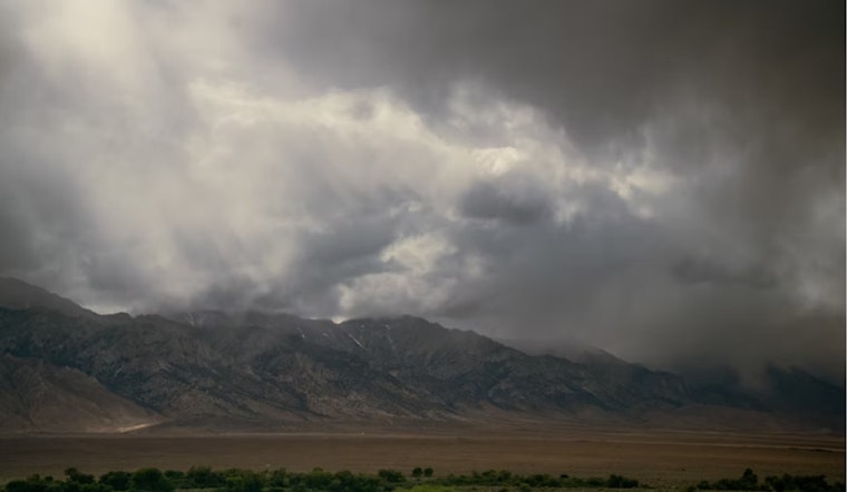
The National Weather Service in Salt Lake City has updated the forecast, indicating that Salt Lake City will see unsettled weather today with an 80 percent chance of precipitation. Morning showers and thunderstorms are expected to give way to possible thunderstorms between 9 am and 3 pm, followed by a continued chance of rain into the evening. The high for today is anticipated to reach near 59 degrees Fahrenheit, according to the National Weather Service.
Tonight, the city should prepare to continue to see a chance of showers and thunderstorms, with showers becoming more likely after 3 am. The clouds will persist, and temperatures are forecasted to dip to a low of around 42 degrees. Winds should remain light, south southeast at around 6 mph, shifting to calm after midnight.
Looking ahead, Thursday offers a 50 percent chance of showers amid mostly cloudy skies, with a high nearing 53 degrees. The overcast conditions are expected to break somewhat by Thursday night, leading to partly cloudy skies and a low around 41 degrees. Calm conditions are predicted to prevail throughout the evening.
Heading into the weekend, the weather is forecasted to improve significantly. Friday is set to be mostly sunny, with a high near 59 degrees and a light wind turning southwest in the afternoon. The night sky on Friday should be mostly clear, with temperatures hovering around 43 degrees. Saturday and Sunday are both expected to be sunny days, with highs climbing to 64 and 72 degrees, respectively.
However, the next week starts with some uncertainty. Sunday night introduces a chance of showers after midnight and partially cloudy conditions with a low around 45 degrees. Monday's weather could bring more showers with partly sunny skies and a high near 61 degrees. A slight chance of showers and thunderstorms could move in by Monday night, and by Tuesday, clearer skies are expected with a high of around 58 degrees.


