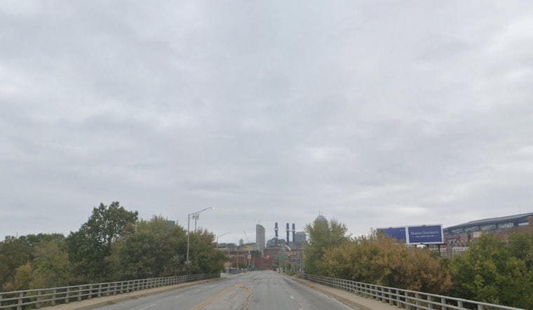
Residents of Indianapolis should expect to see patches of fog and overcast skies today, with the fog expected to lift by 9 am. According to the National Weather Service in Indianapolis, the high is predicted to hover around 48 degrees amid light northeastern winds. In a simple forecast for the day, visibility is expected to be around five miles in some areas, with a slight chill reducing temperatures to feel like 37 degrees Fahrenheit due to the humidity and breeze.
As night approaches, the fog is likely to return, bringing with it a low of around 42 degrees and calm air. For those looking to make plans for Thursday, there’s a 20 percent chance of rain kicking in post-lunchtime. The temperature is to gently rise to approximately 55 degrees, with the wind subtly changing direction to come from the south southwest. The NWS advisory reminds us to prepare for the possibility of rain Thursday night, which holds a 60 percent probability of precipitation.
Carrying an umbrella might just to be a good idea for the rest of the week, as Friday anticipates a 70 percent chance of rain, mainly after 1 pm. With the temperatures reaching up near 58 degrees, the wet weather seems to persist into the evening, cooling down slightly to a low of around 45 degrees. The NWS suggests we might see new rainfall amounts between a tenth and a quarter of an inch during this period.
While the weekend might offer a break in the rain on Saturday afternoon, a 30 percent chance of morning rain is still on the table. Conditions are predicted to improve by evening, with partly sunny skies leading to a low of about 40 degrees. Sunday's forecast brings mostly sunny weather with peaks of 59 degrees, presenting an opportune moment for those who wish to spend time outdoors after a stretch of gloom. Yet, as the new week begins, the chance for rain returns, playing an intriguing game of hide and seek with the sunshine aboard the ever-tempestuous Indiana sky.


