The National Weather Service in St. Louis, MO has issued a detailed forecast for the coming days, highlighting a mostly cloudy day today with a high near 57 and light, variable winds; however, as the night descends, there is a 30 percent chance of rain after midnight with a low around 49 degrees and continuing light southeast wind, setting the stage for a wetter end to the week.
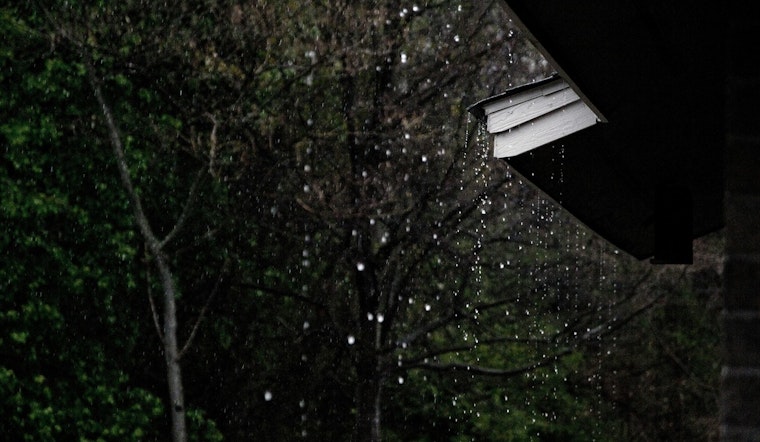
As per the NWS forecast, Thursday will bring rain, a southeast wind of 3 to 7 mph and an 80% chance of precipitation, the rain likely intensifying into the possibility of a thunderstorm by nightfall coupled with a continuous gentle southeast breeze and consistent precipitation probabilities. Friday will not bring respite, as rain and possible thunderstorms after 3pm are predicted with an east wind of 5 to 8 mph and a high likelihood of rain at 90%.
Moving towards the weekend, the outlook seems brighter with Saturday expected to be mostly sunny, boasting a high near 62 degrees, the mild evening partially clouded with a low of around 45, ensuring a brief reprieve from the week's dampness. Sunday continues the clear trend with mostly sunny skies and a high near 64, while the night turns partly cloudy and the thermometer dips to around 45 degrees.
Conditions will shift once more at the start of the new week with a 20 percent chance of rain on Monday and a partly sunny high near 61 – this brief glimpse of sunlit skies interrupted by a 30 percent chance of rain during the night which forecasts a mostly cloudy sky and a low around 46, the rhythm of rain dictating the cadence of clouds and clear skies alike in St. Louis's immediate meteorological future.
The NWS forewarns that Tuesday will be mostly cloudy with a 40 percent chance of rain and a high near 57.


