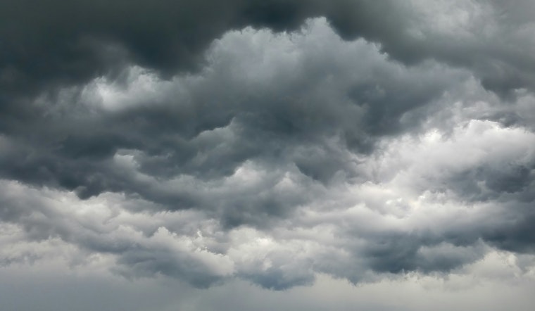
St. Louis residents should prepare for a series of wet weather conditions, with the National Weather Service in St. Louis, MO forecasting a 20 percent chance of rain and thunderstorms today, primarily before 1pm. According to the NWS latest update, the area will be mostly cloudy, with a southeastern wind shifting northwest in the afternoon and a high temperature near 70 degrees Fahrenheit. The humidity stands at a high 86 percent, with a current temperature of 52°F, adding a chilly layer to the rain-soaked surroundings.
Transitioning into the night, the skies are set to remain mostly cloudy, as temperatures dip to a low around 46 degrees. Light north winds will continue to blow between 3 and 6 mph. Residents should likely hold onto their umbrellas for the week, as the National Weather Service points out a persistent chance of rain from Wednesday through Friday, with the probability peaking at 80 percent on Friday.
Thursday's conditions seem particularly grim, with rain likely before 9 am, possibly evolving into a thunderstorm between 9 am and noon, and then reverting back to rain after noon. Thursday night also will quite possibly bring thunderstorms, maintaining a 70 percent chance of rain, as the temperatures hover around 52 degrees. The upcoming weekend, however, offers a break from the precipitation with sunny spells on Saturday and Sunday after perhaps another round of rainfall on Friday night.
The outlook for early next week includes some uncertainties, with a 20 percent chance of rain by Monday. It's a bit of a reprieve, with partly sunny skies anticipated and a high near 61 degrees. The forecast includes a "Hazardous Weather Outlook," warning residents of the evolving conditions across eastern and central Missouri as well as parts of Illinois, however, currently "spotter activation is not expected at this time." Notably, citizens living in the outlined zones by the National Weather Service must remain vigilant in the face of these quickly changing weather patterns.


