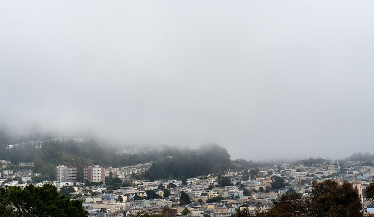
The Bay Area is expected to experience a benign weather pattern with a slight increase in temperatures for the upcoming week, according to the latest forecast from the National Weather Service (NWS) in San Francisco. The forecast indicates a stretch of tranquil conditions and a "rinse and repeat kind of weather" for the short term, with the North Bay and interior East Bay valleys continuing to grapple with Tule fog, which could potentially spread throughout the rest of the Bay Area tonight. NWS San Francisco suggests the quiet weather pattern is in part due to upper-level ridging off the California coast.
According to the NWS San Francisco update, "Patchy dense fog will be possible through mid morning with vsby less than one mile at times." Locals are familiar with the Tule fog's tenacity, a weather phenomenon that notably impacts visibility and is sneaking through the West Delta and into parts of the Bay Area. The Central Coast, in contrast, is predicted to remain free of clouds. Despite the challenge that stratus didn't really clear yesterday over the North Bay, hope persists that areas like Santa Rosa might bask in some late sunshine today, with temperatures potentially struggling to reach 50 degrees.
In the long-term outlook extending from Monday through Saturday, the NWS forecast reaffirms the dominance of high pressure across the region, resulting in a compressed stratus deck and continuing the trend of night and morning clouds. Yet, as high pressure builds, warmer climes are on the horizon, with "70 plus degrees across the Central Coast Tuesday through Friday" being within the realm of possibility. Unfortunately for rain enthusiasts, chances for precipitation toward the middle of the month appear to be on the decline, with the Climate Prediction Center indicating near- or below-normal chances for precipitation through December 20.
Aviation-wise, the Tule fog pattern is making its presence firmly felt, and its persistence means low confidence in clearing at North Bay terminals, with the chance that IFR/LIFR conditions could plague the area again today. However, Bay Area terminals (excluding KLVK) are more likely to experience clearing, except for a patch of stratus and fog moving along the peninsula, which is expected to dissipate by sunrise. The NWS San Francisco forewarned that "otherwise quiet and clear through the afternoon with stratus returning this evening."
For those on the water, the marine forecast until Friday suggests a reprieve from strong winds, with a moderation to breezy northwest conditions focused on the southern waters by mid-next week. Wave heights ranging from 6 to 8 feet are expected to remain constant across the outer waters this weekend. Mariners should also anticipate "a new, long period northwesterly swell is anticipated by Wednesday of next week," according to the NWS advisory.


