As Honolulu ushers in the last day of the year, the National Weather Service (NWS) predicts a relatively mild weather pattern with moderate trades and dropping high clouds. According to the latest NWS forecast, showers are expected to remain primarily on the windward slopes, clearing the stage for a drier Saturday. Yet, the forecast comes with a caveat—things are set to get a bit wetter by the week's end as a dying front arrives Thursday night, carrying with it stronger trade winds and an uptick in precipitation.
Local mariners are advised to be cautious as the Small Craft Advisory has been extended due to persisting easterly winds. NWS reports a state-wide dissipation of showers by early morning and anticipates east to northeast winds travelling at 5 to 15 mph. Residents and visitors looking skyward will notice the dwindling high clouds today, making way for clearer skies as we move into Thursday night. However, the tranquility may be short-lived; another band of moisture is predicted to foster clouds and showers from the northeast toward Friday.
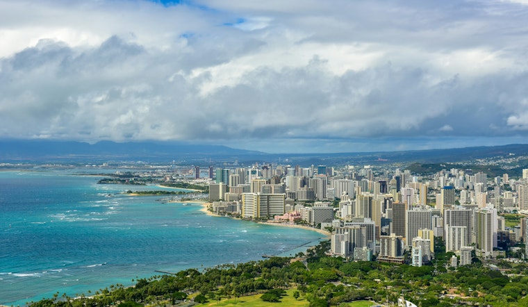
In terms of sea conditions, the advisory flags stay up for surfers and boaters. With high pressure building north, trade winds are maintaining their strength, pushing waves to near advisory heights. A mix of northwest and north-northwest swells is keeping North and West shores busy, with heights predicted to drop below advisory levels by tonight. Nevertheless, a new north swell is on the horizon, set to potentially impact north facing harbors with moderate surges by Friday.
For those on land, the weather mix may not be quite as dramatic, but notable nonetheless. The NWS indicates that "breezy easterly trade winds will hold" for the rest of the day, with VFR conditions prevailing despite possible MVFR due to passing clouds. As the week unwinds, stronger trade winds are anticipated to carry a band of low-level clouds and showers across the islands. The week might end with an increase in southeast winds as an upper-level trough approaches from the northwest, alluding to possibly heavier rainfall early next week.
The forecast also brings attention to naturally cycling tides—peak astronomical monthly tides may present minor coastal flooding and could be exacerbated by the approaching north swell. Beachgoers and property owners on or near the shore should stay informed and take any necessary precautions.
Finally, attention must be given to the extended cautions for Hawaii’s waters. The NWS advisory maintains the High Surf Advisory up until this evening for various shores across the islands and the Small Craft Advisory along the windier waters surrounding Maui County and the Big Island. As the sun sets on 2025, Hawaiians and visitors alike are encouraged to keep abreast of weather changes and to celebrate safely amidst the islands' dynamic climate.


