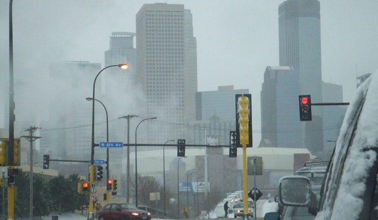
Residents in Minneapolis and the surrounding regions are bracing for a sharp drop in temperature, along with the prospects of snow, as detailed by the latest forecasts. The National Weather Service Twin Cities/Chanhassen MN has issued a weather outlook for the central and southern Minnesota, and west central Wisconsin areas. Today's weather in Minneapolis offers partly sunny skies with a high near 21 degrees, but wind chill values could dip as low as -14. By tonight, a 50 percent chance of snow is expected, mainly from 9pm to 5am, with less than a half inch of new snow accumulation possible, according to the National Weather Service.
The outlook for Saturday shows a temperature rise to near 26 by morning before it falls to around 16 throughout the day, accompanied by strong gusts of wind reaching up to 30 mph. The plunge continues into Saturday night with the mercury dropping to a low of around 1 and gusts persisting as high as 25 mph. Going into Sunday through Christmas Day, Minneapolis residents can anticipate sunny skies but temperatures hovering below the freezing mark, reaching highs from 23 to 39 degrees, wind chill factors notwithstanding. "A 20 percent chance of snow after midnight" is on the radar for Sunday night, with temperature fluctuations continuing into the new week, the NWS forecast states.
While the potential for severe weather may have diminished, residents are still advised to prepare for the varied and frigid conditions common in this season. The slight chance of snow and rain appearing in Monday's forecast offers a slight reprieve before mostly sunny conditions return on Tuesday. However, the anticipation of these weather changes brings no immediate relief from the current cold as it lingers with us, deep into the throes of winter's hold. With the official start of winter only days away, these conditions serve as a stark reminder of the season's force and the need to remain vigilant and prepared.


