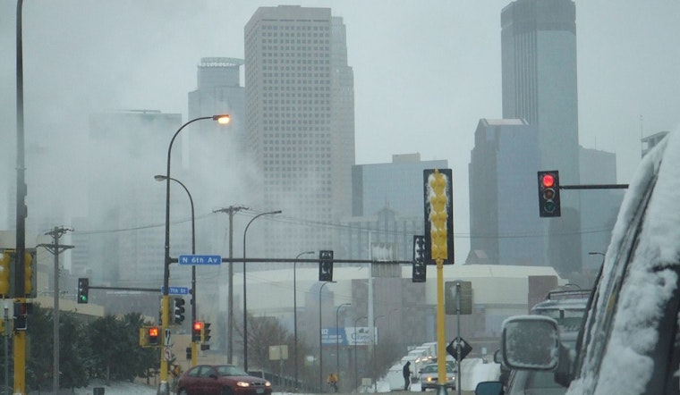
Residents of Minneapolis and surrounding areas should prepare for a wintry mix of conditions, as recent forecasts indicate a likelihood of snow flurries and plummeting temperatures in the coming days. According to the National Weather Service, there's a 30 percent chance of snow or flurries before 3pm today, with mostly cloudy skies and a high near 23 degrees. Winds from the northwest at 10 to 15 mph may gust as high as 30 mph.
Visibility on the roads could be reduced due to snow showers and brisk winds through the morning and afternoon hours, especially in rural areas. Tonight's forecast suggests mostly cloudy conditions with a low dipping to around 2 degrees, and the winds are expected to become lighter, coming from the west after midnight. The Hazardous Weather Outlook warns that from Thursday through Tuesday, there will be chances for light snow each day, combined with substantially cold temperatures from Friday night to Sunday morning, when wind chill values are expected to drop significantly, possibly reaching below -20 at night.
The rest of the week appears to maintain the chilly trend, with Thursday seeing a 40 percent chance of snow after noon and a high near 17 degrees. Southeast winds will be calm, increasing to around 5 mph in the afternoon. On Thursday night, the chance of snow rises to 50 percent, with a low around 8 degrees and potential new snow accumulation of less than half an inch. Conditions on Friday offer a 20 percent chance of snow before noon and windy weather with gusts as high as 25 mph.
Residents should particularly brace for the weekend as temperatures plunge even further. The forecast predicts a high of only 1 degree on Saturday with a 20 percent chance of snow before noon. The evening could experience an icy low of -14 degrees. Sunday will be mostly sunny yet cold with a high near 4 degrees, but by Monday, temperatures are slated to climb back up to a high near 23, bringing partly sunny skies. "Very cold temperatures are also expected Friday night through Sunday morning with wind chill values likely surpassing 20 below zero at night," emphasizes the National Weather Service in their outlook.
By Tuesday, a modest warming trend could bring partly cloudy skies and a high near 33 degrees. However, during this entire period, no significant snow accumulation is anticipated, which should afford some relief to those navigating the roads. For the latest updates on weather conditions, residents can continue to monitor announcements from the National Weather Service.


