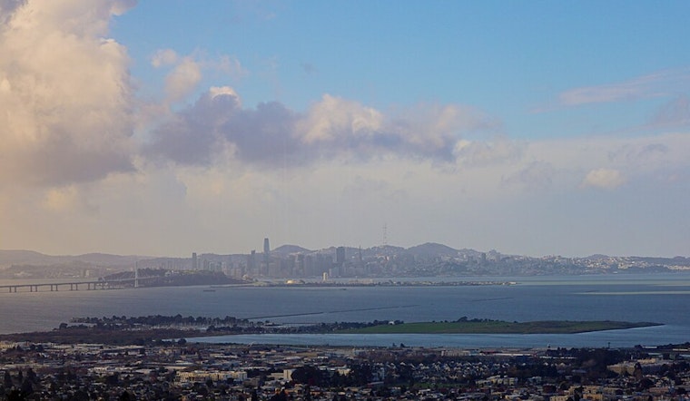
Bay Area residents can anticipate a mild and mostly clear start to their week, according to the latest updates from the National Weather Service San Francisco. The offshore winds that have been present are expected to weaken today, transitioning to light winds that will persist into mid-week. Cloud cover is also on the rise, with high clouds drifting over the region throughout the day due to subsident airflow following the offshore amplified ridge axis.
Despite the synoptic ridging pattern that will continue into the early part of the coming work week, forecasters are calling for "a series of shortwave troughs" to interrupt the ridging at our latitude, although they are not likely to significantly disrupt our weather today and tonight. This should result in slightly cooler high temperatures today, especially for the North Bay, Bay Area, and East Bay regions, as reported by the National Weather Service San Francisco. Overnight lows into early Monday morning are expected to warm slightly for most of the interior regions.
Looking into the longer term, Monday should see a modest increase in temperatures, with the mercury potentially hitting the low to mid 60s for most of the area, as the atmospheric pressure builds up slightly. Nevertheless, this anticipated warm-up is due to be short-lived. “However, the reincarnated ridging on Tuesday is progressive," states the NWS update, indicating a temporary nature of the warm weather. The forecast notes that a deepening trough over the eastern Pacific will likely lift northward, reducing the chance of rainfall in our area by Wednesday.
The aviation outlook is favorable, with VFR – Visual Flight Rules – conditions expected to persist across Bay Area airports, aside from some spotty fog potentially impacting the APC area into the mid-morning. "Winds will mostly say light through the TAF period,” says the NWS San Francisco briefing, suggesting smooth flying conditions for most. In the marine forecast, light winds are projected to increase slightly through Monday and Tuesday, with conditions expected to deteriorate on Wednesday as seas become rough.
While the immediate forecast appears calm, with only a "slight chance of rain showers late Tuesday/Wednesday AM" and a similar chance for light rain next weekend, both with minimal accumulation expected, the broader outlook hints at continued activity in the eastern U.S., though it remains "relatively quiet" for locals, per NWS. Keep an eye on updates as the week progresses, especially if you're planning on outdoor or maritime activities later in the week when the weather may get choppier. Stay tuned and prepare to enjoy the relative serenity our Northern California climate is kindly offering us in the meantime.


.jpg)