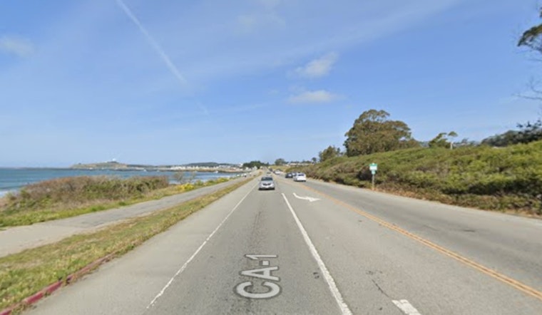
Highway 1 at Surfers Beach might not stay where locals have always known it. Caltrans is studying a dramatic overhaul of a half-mile stretch that would push the road inland and into an El Granada neighborhood many residents assumed was off limits. The concept calls for lifting the highway roughly 22 feet above the current roadway and shifting it about 200 feet east, slicing through a six-acre park that neighbors have been planning for seven years. In a coastal community of roughly 5,500 people, the idea is already raising alarms about traffic, sewer lines, and basic access to the beach.
Caltrans Study Lays Out a Tough Call
The concept appears in a Caltrans study submitted to the California Coastal Commission in November, mapping out options that include retreating inland, building an elevated structure, and periodic sand replenishment, according to the San Francisco Chronicle. The report says moving and elevating the highway could help address erosion, sea-level rise, and extreme-storm flooding and, under one scenario, would protect the route from roughly 3.1 feet of sea-level rise. Officials told the paper that turning any of this from concept into concrete would typically take five to ten years of project development.
Neighbors Sound Alarm on Park and Pipes
Many local officials say they first learned of the study from a neighborhood news site and now worry the realignment would carve through the community’s long-planned park and interfere with key utilities, Coastside Buzz reports. Nancy Marsh, a board member with the agencies that manage parks and wastewater on the Midcoast, told the outlet that an elevated inland alignment could be built atop a major sewer tunnel, a move she says would complicate any relocation and raise serious emergency-access concerns.
Sand Boost Already Underway on the Beach
While the highway future is still on paper, the San Mateo County Harbor District is already testing a different approach on the sand itself. A one-time beach nourishment pilot dredged sand from inside Pillar Point Harbor and placed it on Surfers Beach this past fall, and the district pegs the combined construction and monitoring cost at about $6.5 million, according to the Harbor District’s project page. The district says the pilot is meant as a demonstration to see whether nourishment can restore the recreational beach area, reduce bluff erosion, and buy Caltrans time while longer-term options are evaluated.
Elsewhere on Highway 1, Retreat Is Already Real
Caltrans has already tried managed retreat on other vulnerable stretches of Highway 1. At Gleason Beach, a multi-year realignment moved roughly three-quarters of a mile of roadway inland at a cost of tens of millions, The Press Democrat reported. To the south, a smaller Pescadero realignment now in environmental review would shift about six-tenths of a mile of highway a few dozen feet inland, according to Caltrans District 4 project pages. Together, the projects underline the steep trade-offs and price tags coastal communities face when the ocean starts closing in.
What Happens Next
For now, the Surfers Beach work remains a study on a shelf. Any realignment would still require a full environmental review, coastal permits, and ample community input before design or construction could begin, local groups note. The Midcoast Community Council and county planners are tracking the process as Caltrans and the Coastal Commission sort through options, and residents are already pushing hard for solutions that do not split a long-planned park or put vital sewer and emergency infrastructure at risk, according to the Midcoast Community Council.


