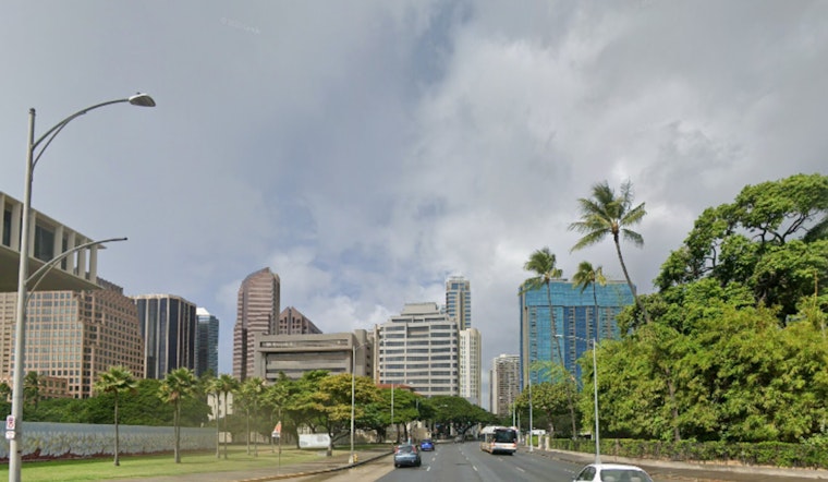
Honolulu woke up under a thick blanket of clouds Friday, with visibility holding near 10 miles and temperatures staying on the warm side, with highs around 80°F and lows near 71°F. Isolated to scattered showers are slated to hang around through Friday, with the heaviest action targeting Maui County and the windward slopes of the Big Island. Northeast breezes are expected to pick up into the high teens in gusts Friday afternoon, and a High Surf Advisory remains in effect for exposed north- and west-facing shores through 6 a.m. HST Friday (Jan. 23).
This Afternoon Into Friday
A stalled frontal boundary near Maui is helping to focus shower activity over the central islands, while Honolulu should see mainly isolated showers this afternoon and evening, with a roughly 20–50% chance depending on the time of day. Highs should land near 80°F, with northeast winds around 8–14 mph and gusts up to 18 mph possible Friday. These details are according to the National Weather Service.
Weekend Outlook
Moisture lifting up from the south is expected to boost shower coverage this weekend as winds gradually veer southerly. Forecast guidance still brings the tail end of a front through the islands Sunday night into Monday (Jan. 25–26), which could deliver a band of steadier, moderate rain with some locally heavier downpours. That lines up with earlier Hoodline coverage of the evolving setup; see our look at the shifting pattern.
Marine And Surf
A High Surf Advisory remains in effect for exposed north- and west-facing shores, including Oʻahu’s North Shore and the Waianae Coast, through 6 a.m. HST Friday. Strong longshore currents and hazardous swimming conditions are likely, so even confident ocean-goers will want to think twice before hopping in. Mariners should be cautious, as small craft may encounter rough seas and locally fresh winds near channels. For marine forecasts, surf heights and buoy readings, check the National Weather Service before heading offshore.
What To Watch
Short but heavy downpours could quickly slick up roadways, so drivers should slow down and use extra caution in wet spots. If you have outdoor plans this weekend, keep a backup date in your pocket and check forecasts Sunday morning, since the front’s timing could still shift. Signing up for local alerts and following posted beach and boating advisories will go a long way toward keeping plans intact and everyone safe.


