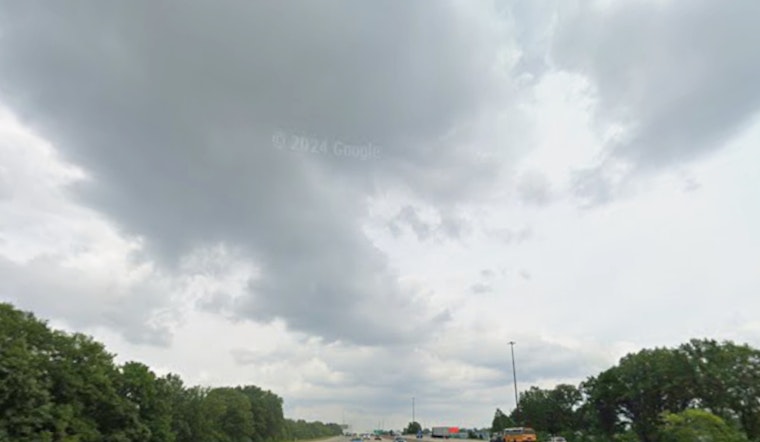
Grey skies blanket Indianapolis today, with the National Weather Service reporting persistent overcast conditions and a humidity level holding steady at 79 percent. Temperatures hover at a cool 41°F, while visibility stretches out to an unobstructed 10 miles. Residents may need their jackets a little longer, despite the promise of an afternoon high near 61, as wind chill maintains a brisker feel around 35°F.
According to the NWS, isolated showers are predicted to break the monotony after 2pm, with a light east northeast breeze gaining strength and veering south-intensifying to gusts as high as 23 mph. However, this evening, the weather takes a more dramatic turn. Showers are likely before the 1am hour, with the potential for a thunderstorm between 1am and 4am then shifting to scattered showers post-4am. A marked uptick in wind speed is expected, with south southwest winds blustering at 15 to 18 mph and peaking with gusts roaring up to 34 mph. Chances of rain tonight skyrocket to a near-certain 90%, and the NWS cautions that new rainfall could inundate the city with up to half an inch.
As the weekend inches closer, Friday's forecast predicts a fleeting respite from the rain with only a 50 percent chance of scattered showers before 11am. Transitioning toward partly sunny skies, Indianapolis will experience a slight decline in temperature, with the midday mercury expected to drop to around 50 by evening. Commuters look ahead to face winds shifting northwest, accompanied by gusts that might reach 26 mph. The weekend outlook indicates a higher likelihood of wet weather, culminating in a 60 percent chance of Saturday showers, accented by milder winds gusting up to 22 mph.
By Saturday night, the city's weather narrative adds a wintry twist with the possibility of rain and snow showers before 10 pm, then shifting to likely snow showers. The mercury is slated to plunge to a chilly 24°F, with a steadfast west wind clocking in at 9 to 11 mph. Such shifts usher in a subdued Sunday, gracing us with a modest 20 percent chance of snow showers before midday and a high that scrapes 30°F. The early week offers a glimpse of sunshine with clearer skies on Monday and a high climbing to 39°F, as reported by the NWS.
In light of the turbulent weather on the horizon, the NWS has issued a hazardous weather outlook for the central Indiana region. "Isolated thunderstorms will be around this evening into the early overnight hours. A severe storm with damaging winds cannot be ruled out, especially along and west of Interstate 69," the outlook warned. Residents and weather enthusiasts are encouraged to stay abreast of developments and report any instances of strong or damaging winds through tonight.


