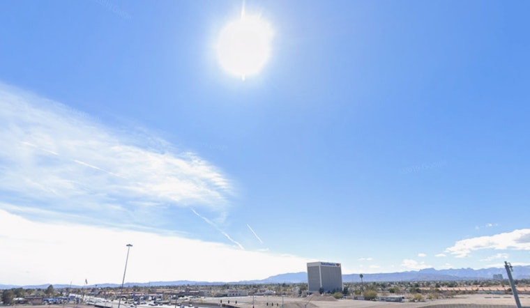
Visitors and residents in Las Vegas can expect to continue to bask in warmer-than-usual temperatures, according to the latest forecast from the National Weather Service in Las Vegas. The Area Forecast Discussion released early this morning points to a persistent ridge of high pressure that is set to maintain the current dry and mild conditions through the middle of the next week. Temperatures are running around ten degrees above the norm today but should cool slightly to within five degrees above normal by midweek.
The forecast also warns of gusty north winds continuing to surge down the Colorado River Valley through tomorrow. The weather pattern will likely disrupt some outdoor activities with gusts between 25 and 35 mph and waves of 2 to 3 feet expected on Lake Mohave. Boaters and outdoor enthusiasts should prepare to carefully navigate the choppy conditions. A decent north to south pressure gradient will bring continued northerly winds down the Colorado River Valley today and tomorrow, as per the National Weather Service.
For aviators, the weather outlook remains favorable with Visual Flight Rules (VFR) conditions estimated to prevail. Harry Reid Airport anticipates light winds this morning, increasing out of the northeast with speeds around 8-12 knots after 18Z. There is reportedly about a 50 percent chance of gusts exceeding 15kts, but these winds are predicted to diminish after sunset to less than 7kts, offering clearer conditions for evening flights.
Outside of the metropolitan area, most regions in southern Nevada, northwest Arizona, and southeast California should also experience VFR throughout the Terminal Aerodrome Forecast (TAF) period, with northerly winds anticipated around 10 knots. However, stronger winds are expected to persist along the Colorado River Valley where gusts of 25-30 knots are likely at KIFP and KEED, according to the National Weather Service. For those planning to quickly head out, be prepared to account for possible travel delays or turbulence en route.
Lastly, the spotter community has been put on alert, with local spotters encouraged to report any significant weather impacts according to standard operating procedures.


